Mesoscale Discussion 1826
Issued: · Valid: –
Summary
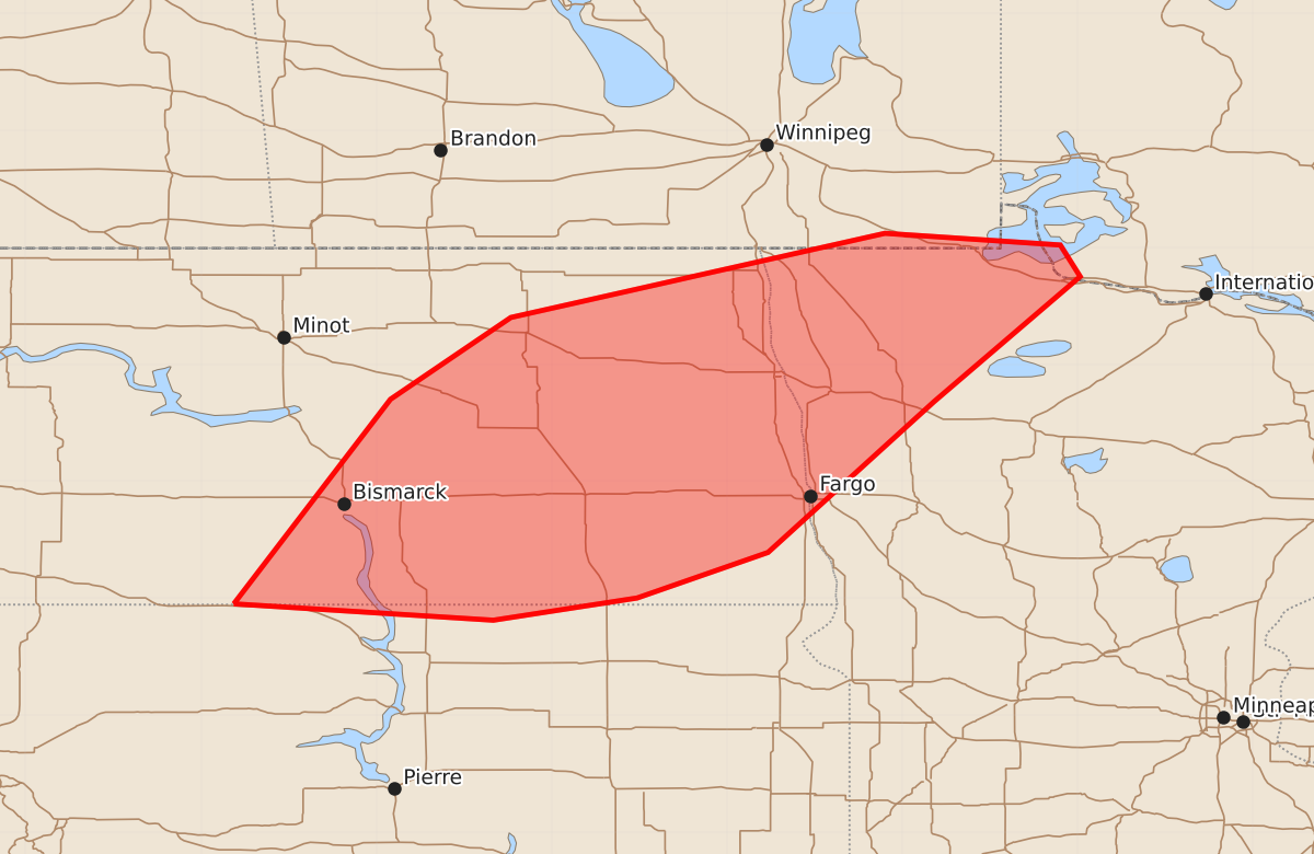
Isolated large hail is possible from storms moving across central and eastern North Dakota into northwest Minnesota this morning.
Product Text
000 ACUS11 KWNS 031025 SWOMCD SPC MCD 031025 MNZ000-NDZ000-SDZ000-031230- Mesoscale Discussion 1826 NWS Storm Prediction Center Norman OK 0525 AM CDT Mon Aug 03 2026 Areas affected...central and eastern North Dakota into northwest Minnesota Concerning...Severe potential...Watch unlikely Valid 031025Z - 031230Z Probability of Watch Issuance...5 percent SUMMARY...Isolated large hail is possible from storms across the northern Plains and Upper Midwest this morning. DISCUSSION...An expansive area of storms has developed across North Dakota and northwest Minnesota within a broad region of isentropic ascent. 1500 to 2000 J/kg MUCAPE and effective shear of 30 to 35 knots (per SPC mesoanalysis) will support some organization, including the potential for some supercell structures. Overall, expect mostly sub-severe high-based storms, but a few of the stronger storms may be capable of large hail. No watch is expected. ..Bentley/Smith.. 08/03/2026 ...Please see www.spc.noaa.gov for graphic product... ATTN...WFO...FGF...ABR...BIS... LAT...LON 45950172 47700038 48409935 49129615 49029465 48759448 47689573 46399715 46009827 45819950 45950172 MOST PROBABLE PEAK HAIL SIZE...UP TO 1.25 IN