Watch 320 Outline
Issued:
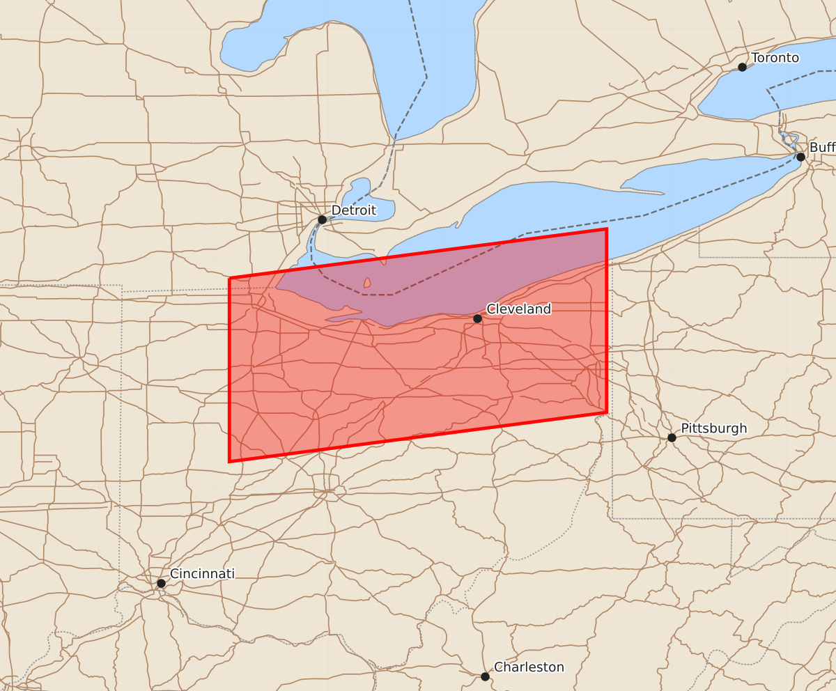
Summary
A severe thunderstorm watch is in effect for portions of northwest and northeast Ohio, including the areas around Findlay and Youngstown, until 5:00 a.m. EDT. Expected hazards include half-inch hail and wind gusts up to 60 knots.
Product Text
000 WWUS30 KWNS 120335 SAW0 SPC AWW 120335 WW 320 SEVERE TSTM OH LE 120335Z - 120900Z AXIS..55 STATUTE MILES NORTH AND SOUTH OF LINE.. 10W FDY/FINDLAY OH/ - 15NNE YNG/YOUNGSTOWN OH/ ..AVIATION COORDS.. 50NM N/S /45N ROD - 36SSW ERI/ HAIL SURFACE AND ALOFT..0.5 INCH. WIND GUSTS..60 KNOTS. MAX TOPS TO 400. MEAN STORM MOTION VECTOR 27045. LAT...LON 41828386 42258057 40658057 40228386 THIS IS AN APPROXIMATION TO THE WATCH AREA. FOR A COMPLETE DEPICTION OF THE WATCH SEE WOUS64 KWNS FOR WOU0.