Mesoscale Discussion 1148
Issued: · Valid: –
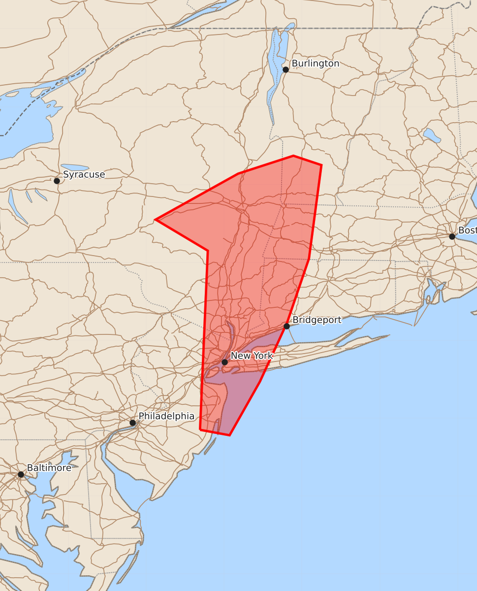
Summary
An isolated severe weather threat involving damaging winds and brief tornadoes may develop across parts of the northern Mid-Atlantic and southwest New England late this evening.
Product Text
000 ACUS11 KWNS 150156 SWOMCD SPC MCD 150156 NYZ000-MAZ000-VTZ000-CTZ000-NJZ000-150400- Mesoscale Discussion 1148 NWS Storm Prediction Center Norman OK 0856 PM CDT Sun Jun 14 2026 Areas affected...Parts of the northern Mid Atlantic/southwest New England Concerning...Severe potential...Watch unlikely Valid 150156Z - 150400Z Probability of Watch Issuance...20 percent SUMMARY...An isolated severe threat may develop late this evening. DISCUSSION...Along the eastern periphery of an extensive precipitation shield, a strong storm has recently developed to the northwest of Albany. The 00Z ALY sounding and the recent VWP from KENX depict a very favorable wind profile for organized convection, with favorable low-level veering and moderate to strong low/midlevel flow. However, very weak buoyancy was present on the 00Z ALY sounding. While some low-level moistening may occur through late evening, the nocturnally cooling boundary layer may hamper any substantial destabilization. A low-level warm-advection regime associated with an approaching mid/upper-level shortwave trough will help to sustain convection through late evening. Updraft strength may continue to be hampered by weak instability, but any stronger sustained cells could be accompanied by locally damaging wind and/or a brief tornado, given the favorable wind profile. Due to the very weak instability, watch issuance is currently considered unlikely, though trends will continue to be monitored for any uptick in destabilization and storm organization. ..Dean/Gleason.. 06/15/2026 ...Please see www.spc.noaa.gov for graphic product... ATTN...WFO...BOX...BTV...OKX...ALY...PHI...BGM... LAT...LON 39857431 42157421 42557488 43147382 43377311 43257275 42057291 41237319 40477354 39787393 39857431 MOST PROBABLE PEAK TORNADO INTENSITY...UP TO 90 MPH MOST PROBABLE PEAK WIND GUST...UP TO 60 MPH