Mesoscale Discussion 2331
Issued: · Valid: –
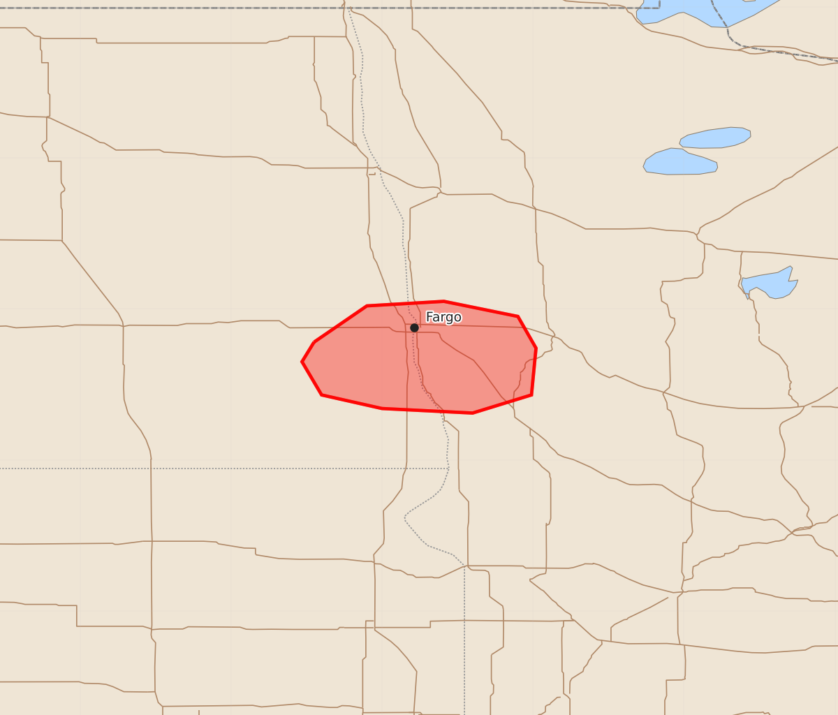
Summary
A localized risk of tornadoes and damaging wind gusts is possible across far southeastern North Dakota and far northwestern/west-central Minnesota through the next hour.
Product Text
000 ACUS11 KWNS 282149 SWOMCD SPC MCD 282149 MNZ000-NDZ000-282245- Mesoscale Discussion 2331 NWS Storm Prediction Center Norman OK 0449 PM CDT Mon Sep 28 2026 Areas affected...Far southeastern North Dakota into far northwest/west-central Minnesota Concerning...Severe potential...Watch unlikely Valid 282149Z - 282245Z Probability of Watch Issuance...5 percent SUMMARY...A very localized and low-confidence risk of damaging wind gusts and a tornado is possible across parts of far southeastern North Dakota into far northwestern/west-central Minnesota during the next hour or so. DISCUSSION...A small thunderstorm cluster has evolved along an east/west-oriented warm front west of Fargo, ND. This storm has shown transient signs of rotation/organization. While it is unclear if the inflow for this activity is truly surface-based (given cool surface temperatures along/north of the warm front), the MVX VWP shows a clockwise-curved low-level hodograph (around 250 m2/s2 0-1 km SRH), which will conditionally support embedded low-level mesocyclones and some risk for damaging wind gusts and a tornado if storms can root near the surface. Overall, confidence in this scenario is low and any risk should remain spatially localized for the next hour or so. ..Weinman/Hart.. 09/28/2026 ...Please see www.spc.noaa.gov for graphic product... ATTN...WFO...FGF... LAT...LON 46789745 47029710 47059659 46959610 46749598 46439601 46319640 46349700 46439740 46659753 46789745 MOST PROBABLE PEAK TORNADO INTENSITY...85-110 MPH MOST PROBABLE PEAK WIND GUST...55-70 MPH