Mesoscale Discussion 2114
Issued: · Valid: –
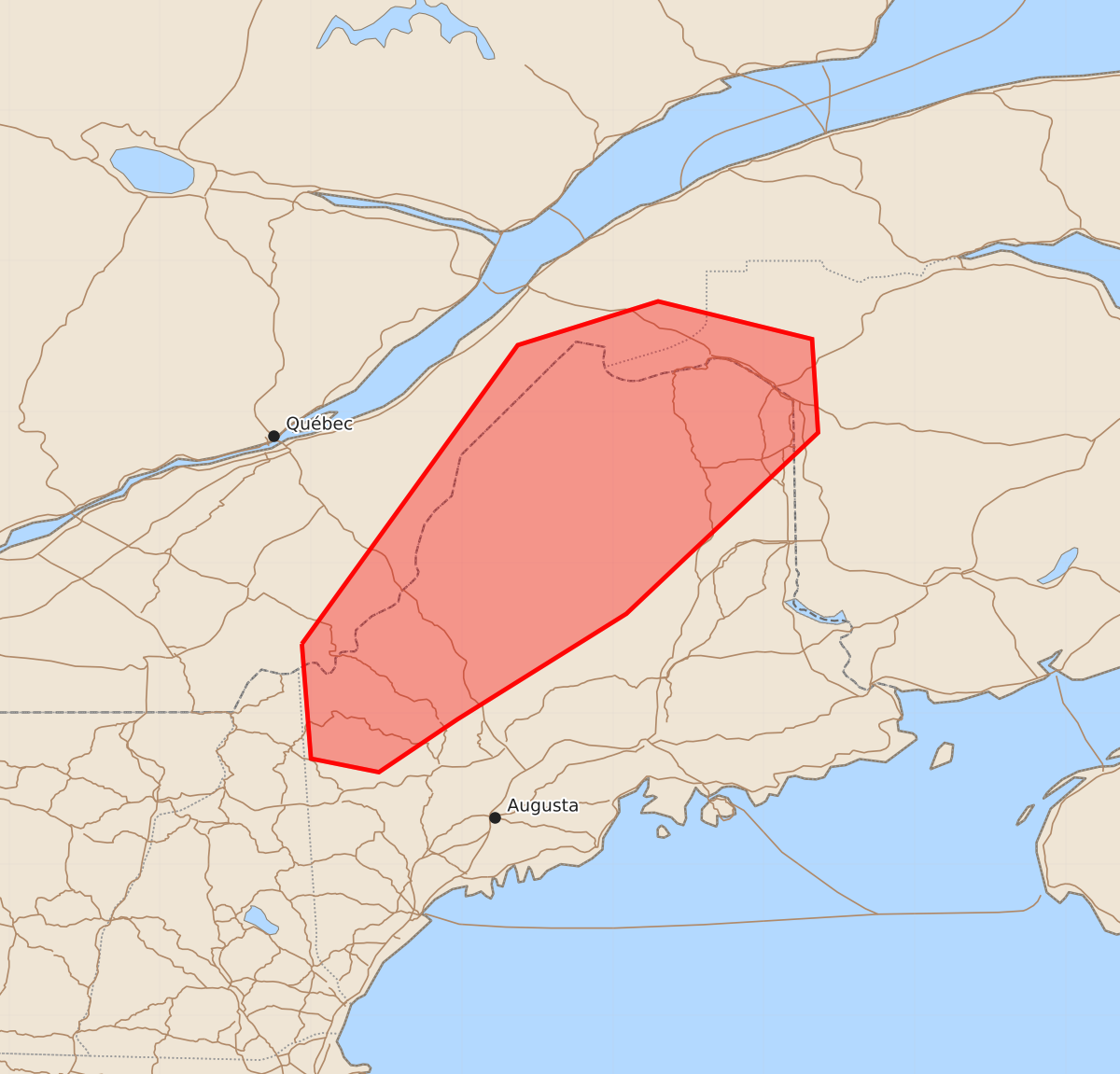
Summary
Isolated severe storms capable of producing damaging wind gusts and marginally severe hail are possible across northern Maine this afternoon and into the evening.
Product Text
000 ACUS11 KWNS 241752 SWOMCD SPC MCD 241752 MEZ000-242015- Mesoscale Discussion 2114 NWS Storm Prediction Center Norman OK 1252 PM CDT Mon Aug 24 2026 Areas affected...northern Maine Concerning...Severe potential...Watch unlikely Valid 241752Z - 242015Z Probability of Watch Issuance...20 percent SUMMARY...Isolated severe storms capable of damaging wind gusts and marginally severe hail appear possible this afternoon into evening. A watch is currently not expected. DISCUSSION...Ahead of a vigorous vorticity maximum centered over the Champlain Valley, visible satellite imagery indicates deepening cumulus across the discussion area amidst a warming and destabilizing air mass with around 500 J/kg of MLCAPE. Eventual thunderstorm development is expected later this afternoon as height falls/cooling aloft overspread the warming boundary layer, contributing to further air mass destabilization. The kinematic environment features strong mid/upper-level winds, resulting in long, straight hodographs supportive of splitting supercells with an associated hail risk. Isolated damaging wind gusts also appear possible owing to the steepening low-level lapse rates across the region, which will enhance evaporative cooling in the sub-cloud layer. ..Mead/Smith.. 08/24/2026 ...Please see www.spc.noaa.gov for graphic product... ATTN...WFO...CAR...GYX... LAT...LON 45467106 47446963 47736870 47486768 46866764 45666891 44967003 44617055 44707100 45467106 MOST PROBABLE PEAK WIND GUST...UP TO 60 MPH MOST PROBABLE PEAK HAIL SIZE...UP TO 1.25 IN