Mesoscale Discussion 1758
Issued: · Valid: –
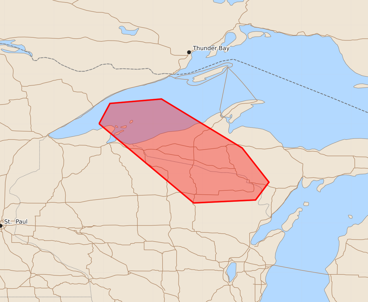
Summary
Severe thunderstorms capable of producing large hail and damaging winds may impact the western Upper Peninsula of Michigan and northern Wisconsin through mid-morning.
Product Text
000 ACUS11 KWNS 271231 SWOMCD SPC MCD 271230 MIZ000-WIZ000-271430- Mesoscale Discussion 1758 NWS Storm Prediction Center Norman OK 0730 AM CDT Mon Jul 27 2026 Areas affected...Western Upper Peninsula of Michigan...Northern Wisconsin Concerning...Severe Thunderstorm Watch 518... Valid 271230Z - 271430Z The severe weather threat for Severe Thunderstorm Watch 518 continues. SUMMARY...Some intensification of activity over Lake Superior/western Upper Peninsula of Michigan is possible as it moves southeast. Large hail and damaging winds remain possible into mid/late morning. DISCUSSION...Activity over Lake Superior has tended to take a more southward motion over the last hour. A very unstable, but currently capped, airmass is situated in northwest Wisconsin. Continued surface heating may allow low-level cloud cover to abate by late morning/early afternoon. Some intensification of ongoing storms is possible as this process occurs. Large hail and damaging winds would be the main hazards. Depending on the timing/track of these storms, some extension in time/area of WW 518 may be needed later this morning. ..Wendt.. 07/27/2026 ...Please see www.spc.noaa.gov for graphic product... ATTN...WFO...MQT...GRB...DLH... LAT...LON 47009109 47419087 47508983 46518820 45828766 45468793 45408918 47009109 MOST PROBABLE PEAK WIND GUST...55-70 MPH MOST PROBABLE PEAK HAIL SIZE...1.00-1.75 IN