Mesoscale Discussion 1640
Issued: · Valid: –
Summary
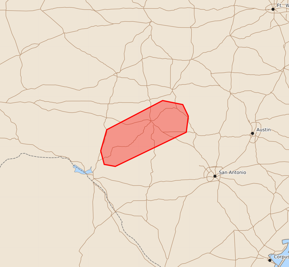
Weak supercell thunderstorms that could produce a brief tornado may affect the Edwards Plateau of Texas overnight.
Product Text
000 ACUS11 KWNS 170702 SWOMCD SPC MCD 170702 TXZ000-170800- Mesoscale Discussion 1640 NWS Storm Prediction Center Norman OK 0202 AM CDT Fri Jul 17 2026 Areas affected...Edwards Plateau of TX Concerning...Severe potential...Watch unlikely Valid 170702Z - 170800Z Probability of Watch Issuance...20 percent SUMMARY...The environment within a mesoscale area may continue to support a couple of weak supercells during the overnight. A brief tornado is possible. DISCUSSION...KDFX radar imagery at 0700 UTC shows several distinct updrafts within a southwest to northeast-oriented thunderstorm cluster (i.e., evident via echo top imagery). A stationary mid-level low over the Permian Basin will promote a persistent and unchanging flow regime across the Edwards Plateau and Hill Country through tonight. KDFX VAD data has shown some modest enhancement to easterly to southerly flow within the surface to 2 km layer during the past 3 hours (i.e., strengthening of 5-10 kt). Furthermore, the presence of a very moist boundary layer (lower to mid 70s F surface dewpoints) and adequate buoyancy may combine with the enlarged low-level hodographs to support intermittent supercell structures for the next several hours. Accompanying this episodic intensification of a couple of storms into supercells, a brief tornado cannot be ruled out. Will continue to monitor mesoscale trends. ..Smith.. 07/17/2026 ...Please see www.spc.noaa.gov for graphic product... ATTN...WFO...EWX...SJT... LAT...LON 29920076 30340064 30929953 30849913 30619902 30299906 29610047 29650069 29920076 MOST PROBABLE PEAK TORNADO INTENSITY...UP TO 90 MPH