Watch 601 Outline
Issued:
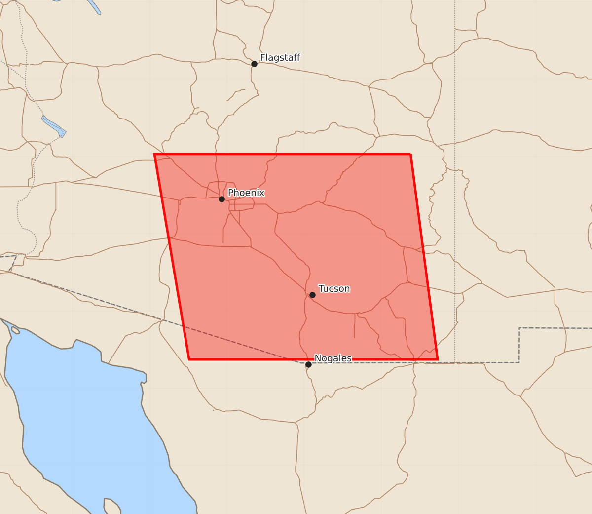
Summary
A severe thunderstorm watch is in effect for the area east and west of a line from northeast Phoenix to west-southwest of Sierra Vista until 2:00 PM MST. Expected hazards include half-inch hail and wind gusts up to 60 knots.
Product Text
000 WWUS30 KWNS 192139 SAW1 SPC AWW 192139 WW 601 SEVERE TSTM AZ 192140Z - 200600Z AXIS..95 STATUTE MILES EAST AND WEST OF LINE.. 60NE PHX/PHOENIX AZ/ - 35WSW FHU/SIERRA VISTA AZ/ ..AVIATION COORDS.. 85NM E/W /52NE PHX - 43S TUS/ HAIL SURFACE AND ALOFT..0.5 INCH. WIND GUSTS..60 KNOTS. MAX TOPS TO 550. MEAN STORM MOTION VECTOR 03020. LAT...LON 34030962 31370927 31371249 34031294 THIS IS AN APPROXIMATION TO THE WATCH AREA. FOR A COMPLETE DEPICTION OF THE WATCH SEE WOUS64 KWNS FOR WOU1.