Mesoscale Discussion 1431
Issued: · Valid: –
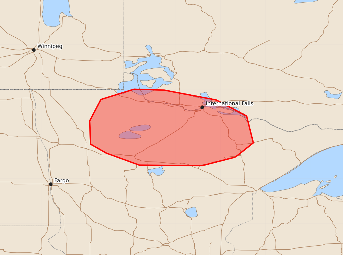
Summary
Isolated thunderstorms in parts of northern Minnesota may produce locally damaging wind gusts and marginally severe hail over the next two hours.
Product Text
000 ACUS11 KWNS 020010 SWOMCD SPC MCD 020009 MNZ000-020145- Mesoscale Discussion 1431 NWS Storm Prediction Center Norman OK 0709 PM CDT Wed Jul 01 2026 Areas affected...Parts of northern Minnesota Concerning...Severe potential...Watch unlikely Valid 020009Z - 020145Z Probability of Watch Issuance...5 percent SUMMARY...A couple strong storms may pose a risk of locally damaging gusts and marginally severe hail during the next couple hours. DISCUSSION...Ahead of a cold front and in the vicinity of pre-frontal differential heating zone, isolated thunderstorms are developing in northern MN -- aided by an approaching midlevel trough. Despite marginal surface-based buoyancy, relatively steep deep-layer lapse rates and an elongated/straight hodograph (around 30-40 kt of effective shear) could promote transient storm organization. Locally damaging wind gusts and marginally severe hail cannot be ruled out with the stronger cores that evolve during the next couple hours. ..Weinman/Thompson.. 07/02/2026 ...Please see www.spc.noaa.gov for graphic product... ATTN...WFO...DLH...FGF... LAT...LON 47489267 47299341 47309481 47579555 47779590 48299592 48779567 49009493 48989426 48769310 48409242 47809227 47489267 MOST PROBABLE PEAK WIND GUST...UP TO 60 MPH MOST PROBABLE PEAK HAIL SIZE...UP TO 1.25 IN