Mesoscale Discussion 1174
Issued: · Valid: –
Summary
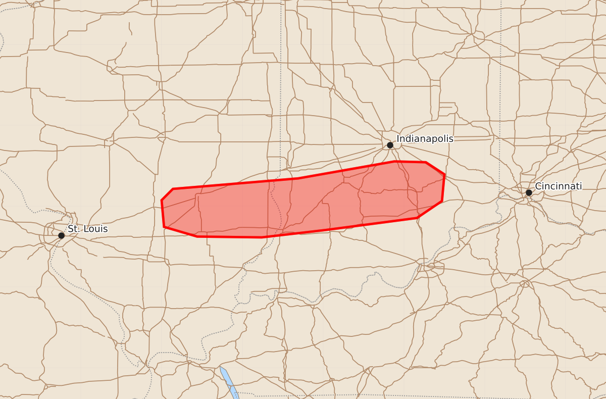
A tornado threat involving potentially strong to intense tornadoes continues tonight across southeastern Illinois and southern Indiana. These storms are expected to bring significant wind gusts and large hail throughout the evening.
Product Text
000 ACUS11 KWNS 180203 SWOMCD SPC MCD 180203 INZ000-ILZ000-180330- Mesoscale Discussion 1174 NWS Storm Prediction Center Norman OK 0903 PM CDT Wed Jun 17 2026 Areas affected...Southeast Illinois into southern Indiana Concerning...Tornado Watch 342...344... Valid 180203Z - 180330Z The severe weather threat for Tornado Watch 342, 344 continues. SUMMARY...The corridor of highest tornado potential continues to shift eastward across southeastern Illinois and southern Indiana -- within Tornado Watches 342/344. DISCUSSION...An east/west-oriented band of tornadic supercells continues tracking east-southeastward across southeastern IL into southern IN -- along the southern periphery of a lingering larger convective cluster. These storms now have access to fully recovered PBL air (upper 70s to lower 80s temperatures amid upper 60s dewpoints). Given a large, clockwise curved hodograph sampled by nearby VWPs (likely around 600 m2/s2 effective SRH), the tornado risk risk (some strong to intense) will continue tonight. ..Weinman.. 06/18/2026 ...Please see www.spc.noaa.gov for graphic product... ATTN...WFO...IND...ILX...LSX... LAT...LON 38708698 38858584 39068553 39398550 39548573 39558612 39348731 39218886 39078900 38748897 38628856 38618776 38708698 MOST PROBABLE PEAK TORNADO INTENSITY...120-145 MPH MOST PROBABLE PEAK WIND GUST...65-80 MPH MOST PROBABLE PEAK HAIL SIZE...1.50-2.50 IN