Mesoscale Discussion 2298
Issued: · Valid: –
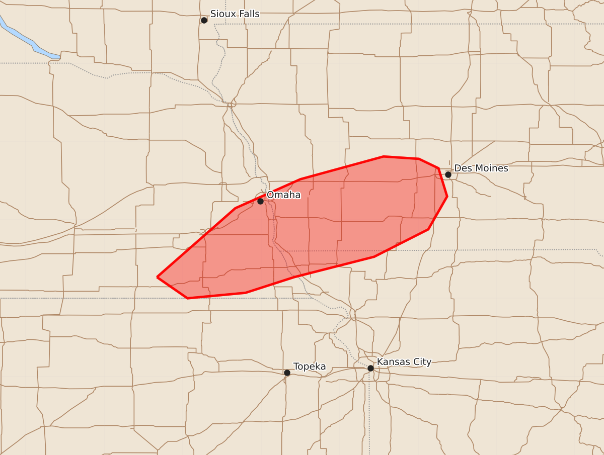
Summary
Severe thunderstorms capable of producing tornadoes and high wind gusts will continue across portions of southeastern Nebraska and central Iowa through the next few hours. These storms may produce peak wind gusts between 65 and 80 mph and brief tornadoes with intensities up to 110 mph.
Product Text
000 ACUS11 KWNS 150020 SWOMCD SPC MCD 150020 IAZ000-MOZ000-NEZ000-150115- Mesoscale Discussion 2298 NWS Storm Prediction Center Norman OK 0720 PM CDT Mon Sep 14 2026 Areas affected...portions of southeastern Nebraska into central Iowa Concerning...Tornado Watch 669... Valid 150020Z - 150115Z The severe weather threat for Tornado Watch 669 continues. SUMMARY...A few severe gusts and a tornado remain possible over the next few hours. The best chance for any severe will be with a thunderstorm cluster traversing a differential heating boundary over the next 1-2 hours. DISCUSSION...A loosely organized line of thunderstorms is crossing the NE/IA border with a history of severe gusts. These storms will continue to propagate eastward into a highly sheared, destabilizing airmass, accompanied by a severe gust threat. The best chance for severe gusts, including any additional 75+ mph gusts or a brief tornado will be with the embedded thunderstorm cluster that is currently traversing a differential heating boundary. ..Squitieri.. 09/15/2026 ...Please see www.spc.noaa.gov for graphic product... ATTN...WFO...DMX...EAX...OAX... LAT...LON 40279733 41159633 41529550 41819444 41789399 41669374 41309363 40889387 40539456 40279558 40079620 40009694 40279733 MOST PROBABLE PEAK TORNADO INTENSITY...85-110 MPH MOST PROBABLE PEAK WIND GUST...65-80 MPH MOST PROBABLE PEAK HAIL SIZE...UP TO 1.25 IN