Mesoscale Discussion 2307
Issued: · Valid: –
Summary
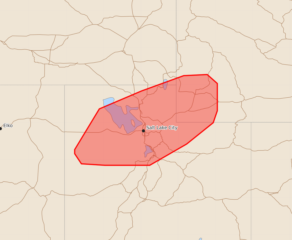
Severe storms capable of producing large hail and strong wind gusts are expected over northern Utah into far southwest Wyoming this afternoon.
Product Text
000 ACUS11 KWNS 181854 SWOMCD SPC MCD 181853 WYZ000-UTZ000-IDZ000-182130- Mesoscale Discussion 2307 NWS Storm Prediction Center Norman OK 0153 PM CDT Fri Sep 18 2026 Areas affected...northern Utah into far southwest Wyoming Concerning...Severe potential...Watch unlikely Valid 181853Z - 182130Z Probability of Watch Issuance...20 percent SUMMARY...Storms over northern Utah may gradually strengthen, with hail over 1.00" diameter and locally strong wind gusts expected. DISCUSSION...An upper low with midlevel cooling continues to move slowly across northern NV and into southern ID this afternoon. Meanwhile, surface heating and boundary layer mixing continue within the surface trough located over eastern NV into UT. Radar trends indicate that the early day activity may be transitioning/strengthening coincident with surface heating, with stronger cores noted. The earlier elongated echoes also appear to be consolidating into cells. The steep lapse rate environment, ample moisture and elongated mid to upper level hodographs should support sporadic severe hail later this afternoon. Locally severe gusts may also occur as outflows possibly aggregate and move across northern UT into southwest WY. ..Jewell/Mosier.. 09/18/2026 ...Please see www.spc.noaa.gov for graphic product... ATTN...WFO...RIW...SLC...PIH... LAT...LON 40421077 39851176 39851296 39891359 40161377 40271377 41361311 41841198 42251085 42281022 42040995 41310995 40991006 40421077 MOST PROBABLE PEAK WIND GUST...UP TO 60 MPH MOST PROBABLE PEAK HAIL SIZE...1.00-1.75 IN