Mesoscale Discussion 1847
Issued: · Valid: –
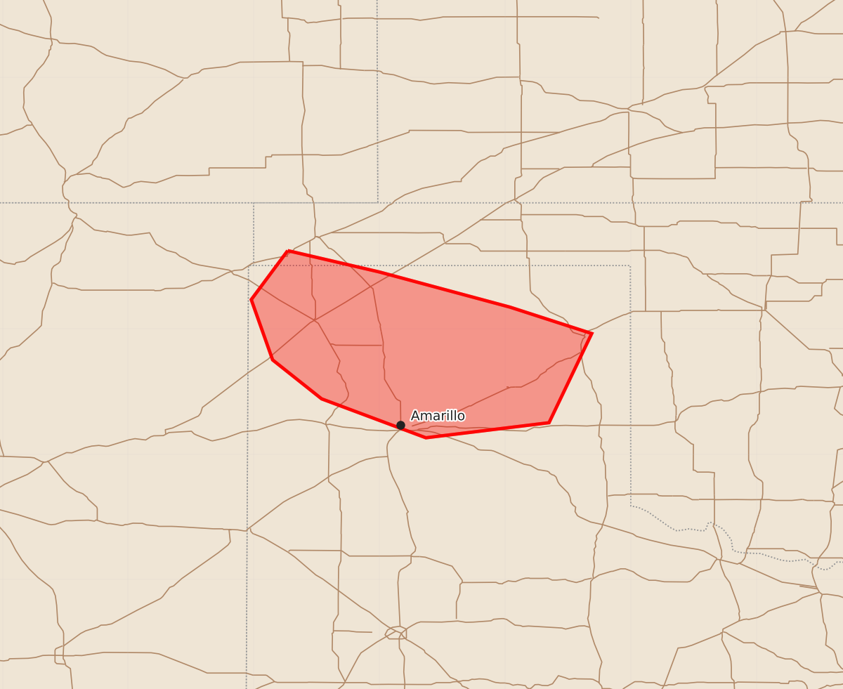
Summary
Severe thunderstorms capable of producing wind gusts between 55 and 70 mph are expected in parts of the Texas Panhandle until approximately 2:00 AM CDT.
Product Text
000 ACUS11 KWNS 070637 SWOMCD SPC MCD 070637 TXZ000-OKZ000-070830- Mesoscale Discussion 1847 NWS Storm Prediction Center Norman OK 0137 AM CDT Fri Aug 07 2026 Areas affected...parts of the Texas Panhandle Concerning...Severe Thunderstorm Watch 539... Valid 070637Z - 070830Z The severe weather threat for Severe Thunderstorm Watch 539 continues. SUMMARY...Thunderstorms within a slowly southward advancing cluster have been diminishing in intensity. As this continues, the potential for strong to severe surface gusts is also likely to diminish through 2-3 AM CDT. DISCUSSION...Based on recent radar and satellite imagery, thunderstorm intensities have been diminishing. Although attempts at renewed convective development are still ongoing above the leading edge of southward advancing outflow approaching the Amarillo vicinity, slowly strengthening inhibition/weaker CAPE for boundary-layer parcels is likely to result in further dissipation of convection and diminishing potential for strong to severe gusts over the next couple of hours. ..Kerr.. 08/07/2026 ...Please see www.spc.noaa.gov for graphic product... ATTN...WFO...AMA... LAT...LON 36620273 36450200 36170096 35960031 35250065 35130163 35440246 35750285 36230302 36620273 MOST PROBABLE PEAK WIND GUST...55-70 MPH