Mesoscale Discussion 1686
Issued: · Valid: –
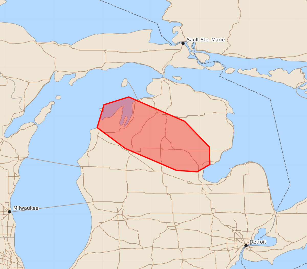
Summary
Severe thunderstorms capable of producing damaging wind gusts up to 70 mph and hail up to 1.25 inches are expected across northern lower Michigan through 05Z. The most significant wind threat will extend from Grand Traverse Bay toward Saginaw Bay.
Product Text
000 ACUS11 KWNS 210317 SWOMCD SPC MCD 210317 MIZ000-210515- Mesoscale Discussion 1686 NWS Storm Prediction Center Norman OK 1017 PM CDT Mon Jul 20 2026 Areas affected...northern lower Michigan Concerning...Severe Thunderstorm Watch 505... Valid 210317Z - 210515Z The severe weather threat for Severe Thunderstorm Watch 505 continues. SUMMARY...Through 05Z, the greatest damaging wind potential will extend from Grand Traverse Bay toward Saginaw Bay. DISCUSSION...As of 0310Z, radar imagery indicated a bowing storm complex with an associated bookend vortex moving over Grand Traverse Bay. Volumetric base velocity data from KAPX suggest some indication of a rear-inflow jet with 50+ kt inbound speeds as low as about 3 kft above ground. RAP-based proximity soundings suggest that the storms are slightly elevated and rooted within a moist layer centered around 850 mb. The stable near-surface layer is expected to limit the potential for a more concentrated damaging wind event. However, the seasonably strong vertical shear and influx of stronger instability from the west will remain supportive of strong up/downdrafts capable sporadic occurrences of 60-65 kt wind gusts. Extrapolation of the current system motion takes it just to the northwest of Saginaw Bay by 05z. ..Mead.. 07/21/2026 ...Please see www.spc.noaa.gov for graphic product... ATTN...WFO...DTX...APX...GRR... LAT...LON 43888448 44338553 44768611 45238597 45398546 44898431 44368380 44008379 43858405 43888448 MOST PROBABLE PEAK WIND GUST...55-70 MPH MOST PROBABLE PEAK HAIL SIZE...UP TO 1.25 IN