Mesoscale Discussion 2333
Issued: · Valid: –
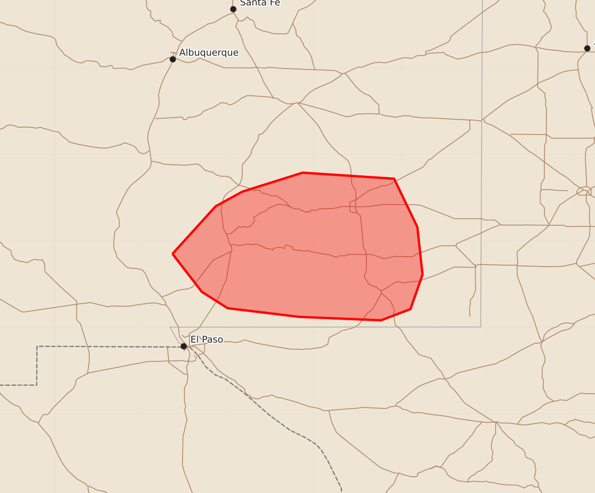
Summary
Isolated severe wind gusts or brief tornadoes may occur across portions of south-central and southeastern New Mexico through the remainder of the afternoon.
Product Text
000 ACUS11 KWNS 292007 SWOMCD SPC MCD 292006 NMZ000-292130- Mesoscale Discussion 2333 NWS Storm Prediction Center Norman OK 0306 PM CDT Tue Sep 29 2026 Areas affected...portions of south-central into southeastern New Mexico Concerning...Severe potential...Watch unlikely Valid 292006Z - 292130Z Probability of Watch Issuance...5 percent SUMMARY...An isolated severe gust or a brief tornado are possible through the remainder of the afternoon. The severe threat should remain quite sparse, so a WW issuance is not expected. DISCUSSION...A small QLCS segment appears to be intensifying based on KHDX and MRMS mosaic radar data as it approaches a destabilizing airmass. South and east of the ongoing storms, surface temperatures are climbing into the 70s F amid 60s F surface dewpoints, yielding over 500 J/kg MLCAPE. Despite marginal instability, strong mid to upper southwesterly flow overspreading weaker southerlies is supporting 40+ kts of effective bulk shear, favoring storm organization. Given that much of this shear is within the sfc-3 km layer, a few embedded mesovortices may develop, and if they do so over a surface-based airmass, a severe wind gust or brief tornado may occur. The favorable overlap of CAPE and vertical wind shear is modest at best, so the severe threat should remain sparse, precluding a WW issuance. ..Squitieri/Mosier.. 09/29/2026 ...Please see www.spc.noaa.gov for graphic product... ATTN...WFO...MAF...ABQ...EPZ... LAT...LON 32850664 33400614 33570583 33790513 33720407 33160380 32610374 32210388 32080422 32120517 32220600 32410630 32850664 MOST PROBABLE PEAK TORNADO INTENSITY...UP TO 90 MPH MOST PROBABLE PEAK WIND GUST...UP TO 60 MPH