Mesoscale Discussion 1463
Issued: · Valid: –
Summary
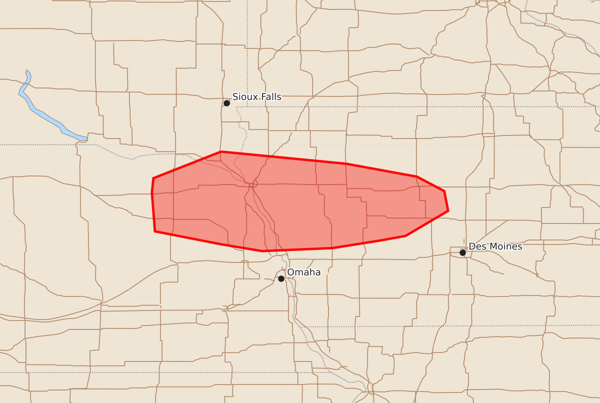
Damaging winds and isolated hail are possible overnight across northeast Nebraska, western Iowa, and extreme southeast South Dakota. These severe thunderstorms may produce wind gusts up to 70 mph and hail up to 1.75 inches.
Product Text
000 ACUS11 KWNS 030647 SWOMCD SPC MCD 030646 IAZ000-NEZ000-SDZ000-030815- Mesoscale Discussion 1463 NWS Storm Prediction Center Norman OK 0146 AM CDT Fri Jul 03 2026 Areas affected...Northeast NE into western IA and extreme southeast SD Concerning...Severe Thunderstorm Watch 444... Valid 030646Z - 030815Z The severe weather threat for Severe Thunderstorm Watch 444 continues. SUMMARY...Damaging wind and isolated hail remain possible overnight. DISCUSSION...Persistent convection has remained relatively disorganized thus far across parts of northeast NE into western IA. However, some east-southeastward propagation has recently been noted west of Sioux City, which may be an indication of expanding outflow and a gradually strengthening cold pool. If this trend continues, a somewhat more organized storm cluster may evolve and move along or just north of a front draped across western IA, with some uptick in damaging-wind potential. Otherwise, MUCAPE of above 2000 J/kg will continue to support isolated hail potential with the strongest embedded updrafts overnight. ..Dean.. 07/03/2026 ...Please see www.spc.noaa.gov for graphic product... ATTN...WFO...DMX...FSD...OAX... LAT...LON 42919680 42759515 42589422 42399386 42139381 41809437 41749470 41649533 41609626 41699680 41869767 42379771 42569769 42919680 MOST PROBABLE PEAK TORNADO INTENSITY...UP TO 90 MPH MOST PROBABLE PEAK WIND GUST...55-70 MPH MOST PROBABLE PEAK HAIL SIZE...1.00-1.75 IN