Mesoscale Discussion 1809
Issued: · Valid: –
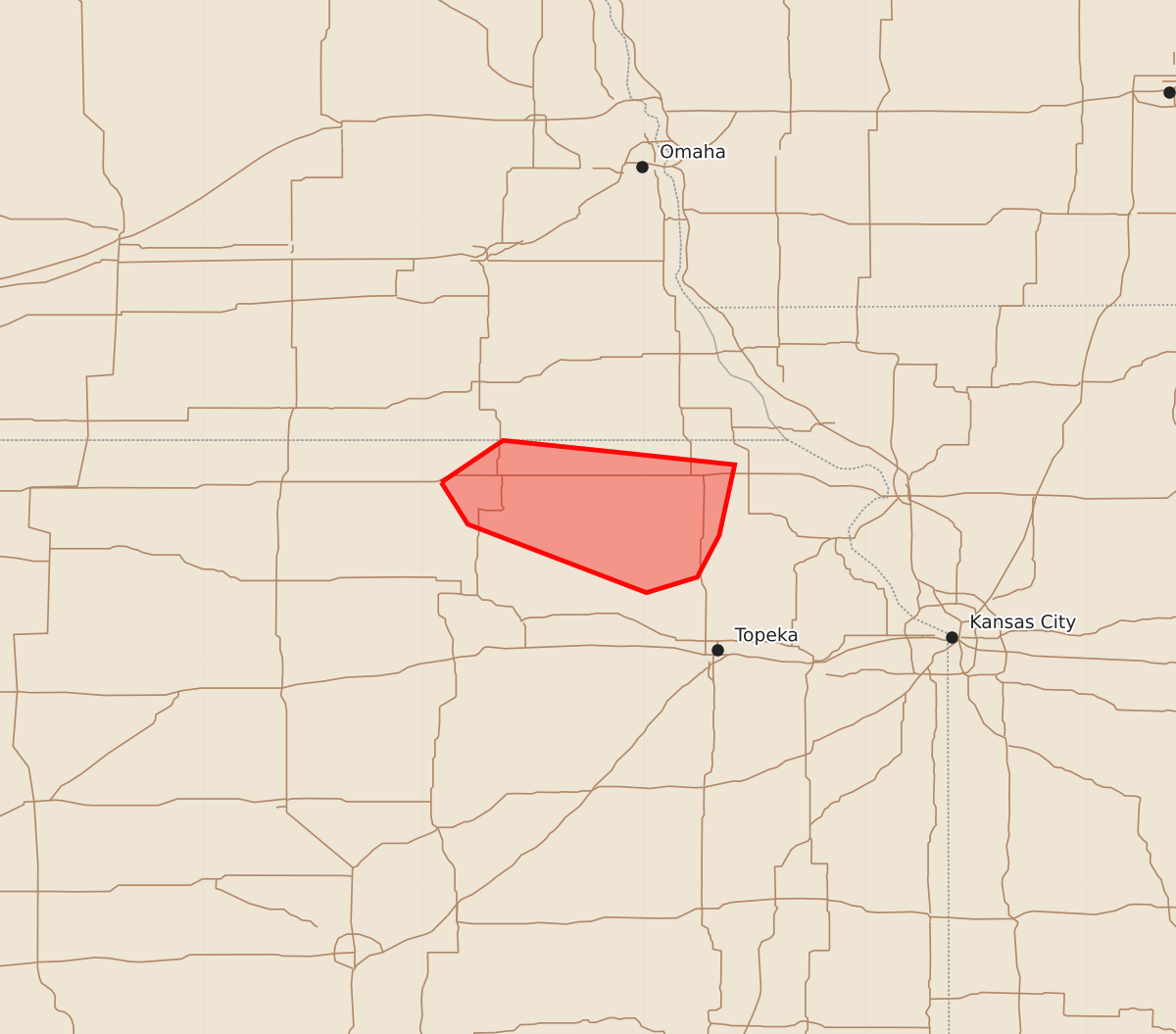
Summary
Occasional wind gusts between 60 and 70 mph are possible across a small portion of northeast Kansas through approximately 1:00 AM CDT.
Product Text
000 ACUS11 KWNS 310607 SWOMCD SPC MCD 310607 KSZ000-NEZ000-310700- Mesoscale Discussion 1809 NWS Storm Prediction Center Norman OK 0107 AM CDT Fri Jul 31 2026 Areas affected...a small portion of northeast Kansas Concerning...Severe potential...Watch unlikely Valid 310607Z - 310700Z Probability of Watch Issuance...5 percent SUMMARY...Occasional 60 to 70 mph wind gusts are possible for the next hour. DISCUSSION...Overall, a MCS moving across the central Plains is in its weakening stage. However, a stronger outflow surge has occurred across north-central Kansas with higher base reflectivity catching the outflow boundary per UEX/TWX WSR-88D data. Measured wind gusts of 64 mph, 61 mph, and 59 mph have occurred with this push within Republic, Washington, and Marshall counties in northern Kansas. An embedded supercell type structure apparent within the radar data, combined with mid 70s F downstream dewpoints may allow this feature to persist for the next hour with a continued 60 to 70 mph wind gust threat. However, expect the overall threat to wane into the early morning hours. Therefore, no severe thunderstorm watch is anticipated. ..Bentley/Guyer.. 07/31/2026 ...Please see www.spc.noaa.gov for graphic product... ATTN...WFO...OAX...TOP... LAT...LON 39819692 40009664 39949606 39899559 39579566 39389576 39319599 39629680 39819692 MOST PROBABLE PEAK WIND GUST...55-70 MPH