Mesoscale Discussion 1762
Issued: · Valid: –
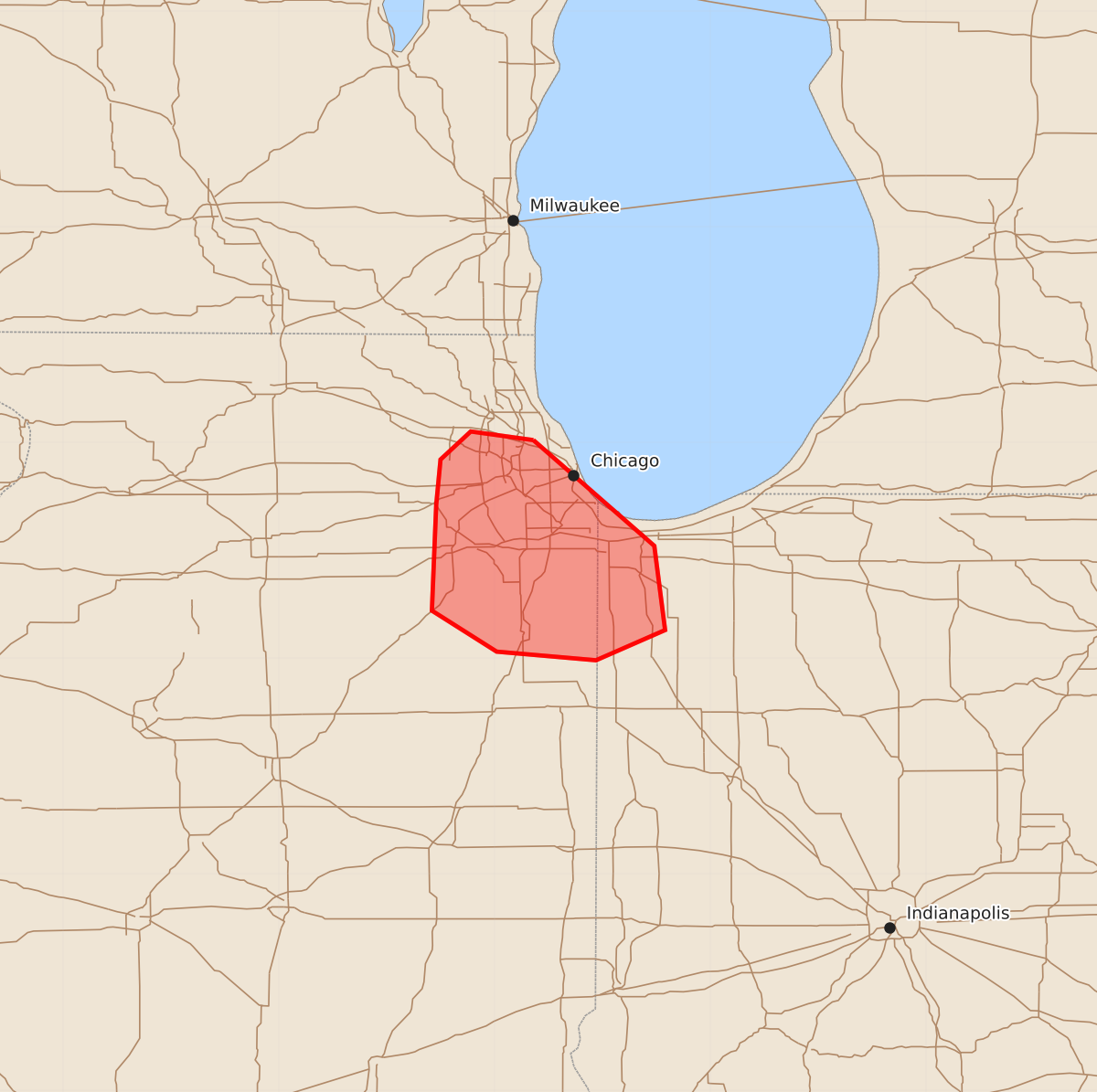
Summary
Large hail, strong winds, and a possible strong tornado are expected to develop across northeast Illinois and northwest Indiana within the next one to two hours. The severe weather may include hail up to 2.5 inches and wind gusts between 65 and 80 mph.
Product Text
000 ACUS11 KWNS 271725 SWOMCD SPC MCD 271724 INZ000-ILZ000-271900- Mesoscale Discussion 1762 NWS Storm Prediction Center Norman OK 1224 PM CDT Mon Jul 27 2026 Areas affected...northeast IL/northwest IN Concerning...Severe Thunderstorm Watch 520... Valid 271724Z - 271900Z The severe weather threat for Severe Thunderstorm Watch 520 continues. SUMMARY...A favorable environment supporting large to very large hail and a tornado risk will develop across portions of northeast IL into northwest IN over the next 1-2 hours. DISCUSSION...A supercell located over northeast IL will develop south/southeast across the southern greater Chicago metro vicinity. The downstream airmass is very moist (mid/upper 70s dewpoints) and unstable (3000-4000 J/kg MLCAPE). Favorable vertical shear with 50+ kt effective shear magnitudes and 0-1 SRH near 125 m2/s2 is noted from the KLOT VWP. Effective STP values have increased to 3-5 as well. This environment will continue to support supercell structures with a continued risk for very large hail to around 2.5 inches, strong wind gusts, and possibly a strong tornado over the next 1-2 hours. ..Leitman.. 07/27/2026 ...Please see www.spc.noaa.gov for graphic product... ATTN...WFO...LOT... LAT...LON 42018782 41528726 41138721 40998753 41038799 41228829 41718827 41928825 42058811 42018782 MOST PROBABLE PEAK TORNADO INTENSITY...100-125 MPH MOST PROBABLE PEAK WIND GUST...65-80 MPH MOST PROBABLE PEAK HAIL SIZE...1.50-2.50 IN