Mesoscale Discussion 1867
Issued: · Valid: –
Summary
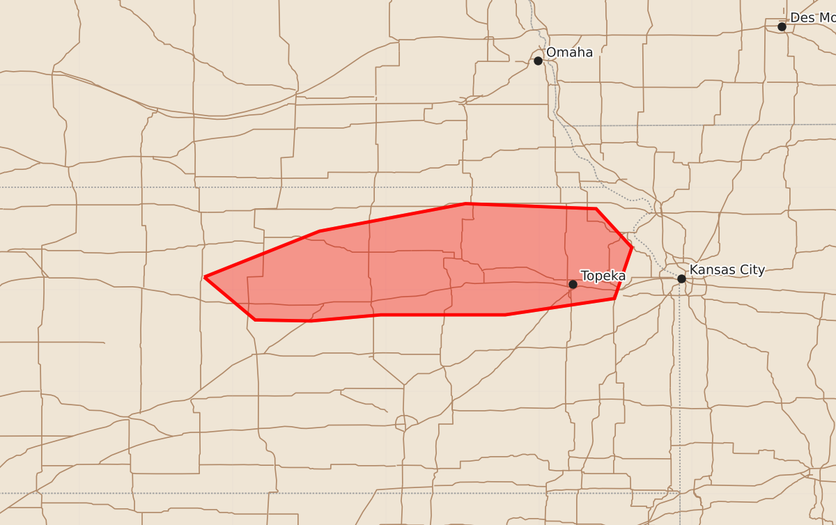
Some severe thunderstorms may develop across portions of northern Kansas through the remainder of Saturday afternoon, potentially producing damaging wind gusts and hail.
Product Text
000 ACUS11 KWNS 082153 SWOMCD SPC MCD 082153 KSZ000-082330- Mesoscale Discussion 1867 NWS Storm Prediction Center Norman OK 0453 PM CDT Sat Aug 08 2026 Areas affected...portions of northern Kansas Concerning...Severe potential...Watch unlikely Valid 082153Z - 082330Z Probability of Watch Issuance...20 percent SUMMARY...A couple instances of severe gusts or perhaps some hail may accompany any of the stronger storms that manage to sustain themselves through the remainder of the afternoon. DISCUSSION...A lone multicellular cluster has matured over northern KS in the past hour, likely driven by the intersection of a strongly heated/mixed boundary layer and weak surface convergence along a baroclinic boundary. A belt of 15-20 kt southerly low-level flow is in place across the Plains, overspread by 30+ kt 500 mb northwesterlies, resulting in 40+ kts of effective bulk shear over northern KS. The baroclinic boundary precedes the ongoing multicellular cluster, where surface dewpoints exceed 70 F, yielding over 3000 J/kg MLCAPE. Nonetheless, forcing for ascent is weak in this region, casting great uncertainty on the coverage and overall longevity of any severe threat. Current visible satellite does not suggest any imminent threat for additional convective development in the near term. Still, given adequate vertical wind shear and instability, a conditional threat for a few severe gusts and perhaps an instance of severe hail may accompany this multicellular cluster, assuming it persists along the baroclinic boundary. ..Squitieri/Mosier.. 08/08/2026 ...Please see www.spc.noaa.gov for graphic product... ATTN...WFO...EAX...TOP...ICT...GID...DDC... LAT...LON 39129928 39579815 39849672 39799544 39419509 38919526 38759633 38759755 38699823 38709878 39129928 MOST PROBABLE PEAK WIND GUST...55-70 MPH MOST PROBABLE PEAK HAIL SIZE...1.00-1.75 IN