Mesoscale Discussion 1484
Issued: · Valid: –
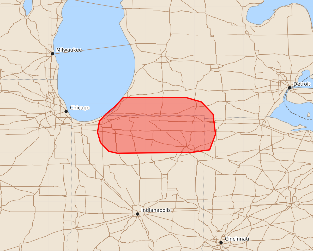
Summary
Isolated severe thunderstorms may bring hail and damaging winds to northern Indiana and far southwest Lower Michigan through late evening.
Product Text
000 ACUS11 KWNS 040230 SWOMCD SPC MCD 040229 OHZ000-MIZ000-INZ000-040430- Mesoscale Discussion 1484 NWS Storm Prediction Center Norman OK 0929 PM CDT Fri Jul 03 2026 Areas affected...Northern Indiana and far southwest Lower Michigan Concerning...Severe potential...Watch unlikely Valid 040229Z - 040430Z Probability of Watch Issuance...20 percent SUMMARY...Elevated thunderstorms developing across northern Indiana and far southwest Lower Michigan may pose an isolated hail and severe wind threat through late evening. Storm organization/longevity is expected to remain sufficiently limited to preclude watch issuance. DISCUSSION...The early stages of thunderstorm development have been monitored across northern IN over the past 30-60 minutes as a modest increase in the low-level jet augments isentropic ascent over a residual outflow boundary draped across the region. Much of this convection is likely elevated in nature, but latest RAP/HRRR forecast soundings depict nearly uninhibited most-unstable parcels between 925-850 mb where ascent is likely being maximized. As such, further thunderstorm development appears likely in the coming hours. Storm motions generally to the cool side of the boundary, coupled with a high probability for destructive storm interactions, suggest that the potential for long-lived and/or well-organized convection is low. However, effective bulk shear values are estimated to be around 25-30 knots within the zone of ascent, and MUCAPE values remain near 2000 J/kg. This parameter space could support at least transient organized convection capable of posing a risk of large hail and perhaps damaging winds in proximity to the surface boundary for the next few hours. In general, increasingly clustered storm modes should modulate the overall severe threat and negate the need for watch issuance. ..Moore/Gleason.. 07/04/2026 ...Please see www.spc.noaa.gov for graphic product... ATTN...WFO...IWX...GRR...LOT... LAT...LON 41068469 41018504 40998658 41038676 41218693 41428699 41658695 41798682 41948664 42138646 42138517 42048486 41798462 41388457 41068469 MOST PROBABLE PEAK WIND GUST...UP TO 60 MPH MOST PROBABLE PEAK HAIL SIZE...UP TO 1.25 IN