Mesoscale Discussion 2076
Issued: · Valid: –
Summary
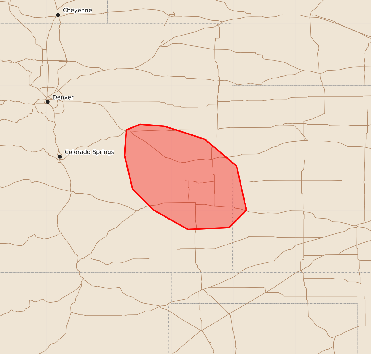
Thunderstorms in parts of east-central Colorado and west-central Kansas may produce severe wind gusts and large hail over the next couple of hours.
Product Text
000 ACUS11 KWNS 212348 SWOMCD SPC MCD 212347 KSZ000-COZ000-220145- Mesoscale Discussion 2076 NWS Storm Prediction Center Norman OK 0647 PM CDT Fri Aug 21 2026 Areas affected...Parts of east-central Colorado and west-central Kansas Concerning...Severe potential...Watch unlikely Valid 212347Z - 220145Z Probability of Watch Issuance...20 percent SUMMARY...Thunderstorms will pose a risk of severe wind gusts and large hail during the next couple hours. DISCUSSION...Several thunderstorms have recently intensified along a subtle surface boundary and in a zone of enhanced low-level convergence near a surface low in east-central CO. This activity is evolving along the eastern periphery of a large-scale ridge, where around 40 kt of effective shear is promoting convective organization (including supercells). These storms should continue tracking slowly southward along a buoyancy gradient, where a deeply mixed PBL will promote severe wind gusts over the next couple hours. Isolated instances of large hail will also be possible with the longer-lived supercell structures. ..Weinman/Thompson.. 08/21/2026 ...Please see www.spc.noaa.gov for graphic product... ATTN...WFO...DDC...GLD...PUB...BOU... LAT...LON 38340362 38880375 39290372 39380350 39350311 39140246 38710195 38000179 37720207 37690273 38000328 38340362 MOST PROBABLE PEAK WIND GUST...55-70 MPH MOST PROBABLE PEAK HAIL SIZE...1.00-1.75 IN