Mesoscale Discussion 1013
Issued: · Valid: –
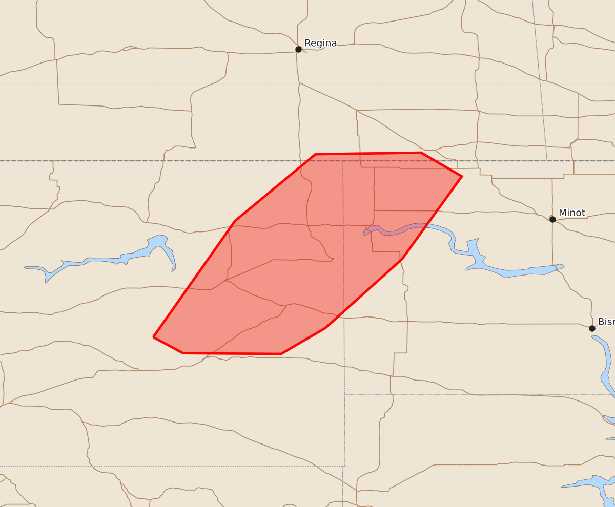
Summary
Large hail and isolated severe wind gusts are possible overnight for eastern Montana and far western North Dakota. These severe thunderstorms are expected to produce wind gusts between 55 and 70 mph and hail between 1 and 1.75 inches in size.
Product Text
000 ACUS11 KWNS 070606 SWOMCD SPC MCD 070606 NDZ000-MTZ000-070800- Mesoscale Discussion 1013 NWS Storm Prediction Center Norman OK 0106 AM CDT Sun Jun 07 2026 Areas affected...Eastern Montana into far western North Dakota Concerning...Severe Thunderstorm Watch 283... Valid 070606Z - 070800Z The severe weather threat for Severe Thunderstorm Watch 283 continues. SUMMARY...Large hail and isolated severe gusts will remain possible into the overnight in eastern Montana and far western North Dakota. DISCUSSION...With very strong shear (70-80 kt effective in eastern Montana), storms in WW 283 have generally remained cellular. The environment will likely continue to support this storm mode, though small clusters may yet develop. Steep mid-level lapse rates sampled on this evenings GGW sounding will promote some risk of large hail. The threat for severe wind gusts is less clear given the post-frontal nature of the storms. The severe wind risk will be greater if storms develop along/near the cold front. ..Wendt.. 06/07/2026 ...Please see www.spc.noaa.gov for graphic product... ATTN...WFO...BIS...BYZ...GGW... LAT...LON 46690651 48210544 49080439 49100301 48790248 47710326 46810426 46470484 46480612 46690651 MOST PROBABLE PEAK WIND GUST...55-70 MPH MOST PROBABLE PEAK HAIL SIZE...1.00-1.75 IN