Mesoscale Discussion 1670
Issued: · Valid: –
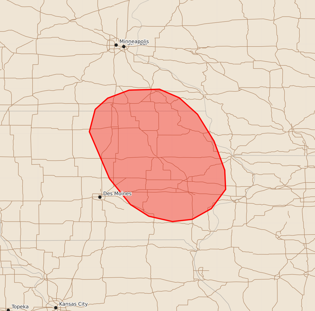
Summary
A line of severe thunderstorms capable of producing isolated wind damage is expected to move across eastern Iowa and far southeast Minnesota during the morning of July 20. The severe threat is expected to be marginal, with wind gusts potentially reaching 55 to 70 mph.
Product Text
000 ACUS11 KWNS 201255 SWOMCD SPC MCD 201255 IAZ000-WIZ000-MNZ000-201500- Mesoscale Discussion 1670 NWS Storm Prediction Center Norman OK 0755 AM CDT Mon Jul 20 2026 Areas affected...Far Southeast Minnesota...Eastern Iowa Concerning...Severe potential...Watch unlikely Valid 201255Z - 201500Z Probability of Watch Issuance...20 percent SUMMARY...An isolated wind-damage threat will likely continue with a short line of strong to severe storms near the Iowa-Minnesota state line. This line will move south-southeastward across eastern Iowa over the next couple of hours. The threat is expected to be marginal and weather watch issuance appears unlikely. DISCUSSION...The latest surface analysis shows a north-to-south corridor of low-level moisture from far western Missouri northward into western Iowa, along which dewpoints are in the mid 70s F. Slightly further east, the RAP has an axis of moderate instability with MLCAPE in the 1000 to 2000 J/kg range analyzed over central Iowa. Scattered thunderstorms are ongoing along the instability gradient to the east of this axis. The storms are being supported by a subtle mid-level shortwave trough evident on water vapor imagery moving southeastward across the upper Mississippi Valley. Although forecast soundings across eastern Iowa this morning have a near-surface inversion in place, effective shear is estimated to be near 40 knots. This could support an isolated and marginal threat for severe wind gusts over the next couple of hours, especially as surface temperatures ahead of the storms begin to increase. ..Broyles/Smith.. 07/20/2026 ...Please see www.spc.noaa.gov for graphic product... ATTN...WFO...DVN...ARX...MPX...DMX... LAT...LON 43549372 43049385 41999340 41419293 41159252 41039199 41089155 41329112 41759080 42189082 42839106 43439143 43809184 43999228 43979296 43799344 43549372 MOST PROBABLE PEAK WIND GUST...55-70 MPH MOST PROBABLE PEAK HAIL SIZE...UP TO 1.25 IN