Mesoscale Discussion 1526
Issued: · Valid: –
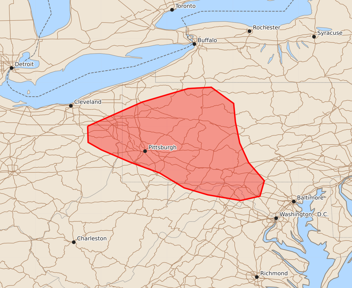
Summary
Isolated strong to severe thunderstorms may develop across eastern Ohio and western Pennsylvania this evening, capable of producing wind gusts up to 60 mph.
Product Text
000 ACUS11 KWNS 062159 SWOMCD SPC MCD 062158 PAZ000-MDZ000-WVZ000-VAZ000-OHZ000-070000- Mesoscale Discussion 1526 NWS Storm Prediction Center Norman OK 0458 PM CDT Mon Jul 06 2026 Areas affected...Central Pennsylvania into eastern Ohio Concerning...Severe potential...Watch unlikely Valid 062158Z - 070000Z Probability of Watch Issuance...5 percent SUMMARY...Thunderstorm coverage may increase in the coming hours as boundaries begin to collide, and the convective environment should support a few strong to severe thunderstorms. However, the threat should remain sufficiently transient and isolated to preclude watch issuance. DISCUSSION...Latest GOES imagery and surface observations show a trio of surface boundaries across central to western PA and into far eastern OH. Convection ongoing along these boundaries has largely demonstrated pulse behavior with poor organization and short durations - largely owing to weak flow aloft as sampled by regional VWPs. However, some clustering has been noted across north-central PA. Over the next several hours, boundary collisions may promote an uptick in thunderstorm coverage across far eastern OH into western PA where temperatures are in the upper 70s to low 80s and MLCAPE values are near 1000-1500 J/kg. The meager deep-layer wind shear will continue to promote mostly disorganized convection, but a few more intense (albeit transient) thunderstorms may be capable of producing sporadic strong to perhaps severe downburst winds (most likely 40-60 mph). Some degree of clustering and cold pool amalgamation appears possible, which may promote more concentrated corridors of damaging winds, but confidence in this potential is limited. ..Moore.. 07/06/2026 ...Please see www.spc.noaa.gov for graphic product... ATTN...WFO...CTP...LWX...PBZ...CLE... LAT...LON 41008131 41558007 41867902 41897849 41527798 41107794 40617784 40177764 39757728 39407738 39307782 39437857 39597911 39937967 40188035 40468100 40638130 41008131 MOST PROBABLE PEAK WIND GUST...UP TO 60 MPH