Mesoscale Discussion 1021
Issued: · Valid: –
Summary
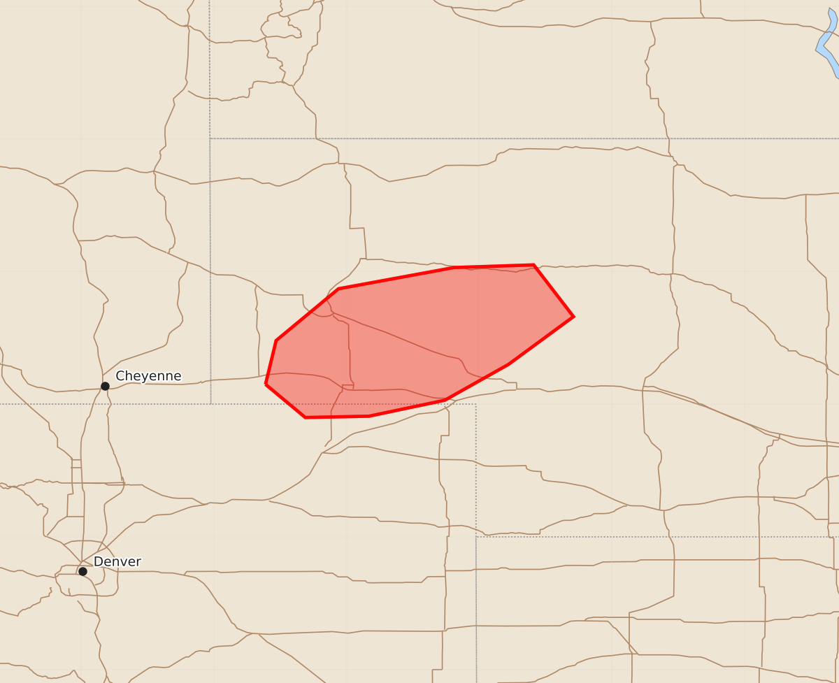
A cluster of storms may produce severe wind gusts and large hail across portions of western Nebraska and far northeastern Colorado this evening.
Product Text
000 ACUS11 KWNS 080216 SWOMCD SPC MCD 080215 NEZ000-COZ000-080315- Mesoscale Discussion 1021 NWS Storm Prediction Center Norman OK 0915 PM CDT Sun Jun 07 2026 Areas affected...portions of western Nebraska and far northeastern Colorado Concerning...Severe potential...Watch unlikely Valid 080215Z - 080315Z Probability of Watch Issuance...20 percent SUMMARY...A cluster of storms may produce a few severe gusts and large hail this evening across portions of western Nebraska and far northeastern Colorado. A watch is not likely at this time. DISCUSSION...Storms are ongoing across western Nebraska this evening south of a mid-level jet and associated surface low, situated across southwestern South Dakota. The 00Z LBF RAOB showed generally weak winds through the depth of the column but generally steep lapse rates. Relatively low boundary-layer relative humidity may contribute to a threat for severe gusts, and the steep lapse rates may result in a threat for large hail, though modest deep-layer shear may limit this threat. Storm coverage should generally decline with loss of diurnal heating and associated increase in inhibition. However, moist south-southeasterlies and the development of a low-level jet with boundary-layer decoupling may allow the cluster of storms to persist for a couple hours after sunset. Due to the short duration and localized nature of this threat, a watch is unlikely at this time. ..Supinie/Gleason.. 06/08/2026 ...Please see www.spc.noaa.gov for graphic product... ATTN...WFO...LBF...BOU...CYS... LAT...LON 41150361 41480353 41870306 42030219 42050159 41660129 41300178 41030226 40910283 40900331 41150361 MOST PROBABLE PEAK WIND GUST...UP TO 60 MPH MOST PROBABLE PEAK HAIL SIZE...1.00-1.75 IN