Mesoscale Discussion 1052
Issued: · Valid: –
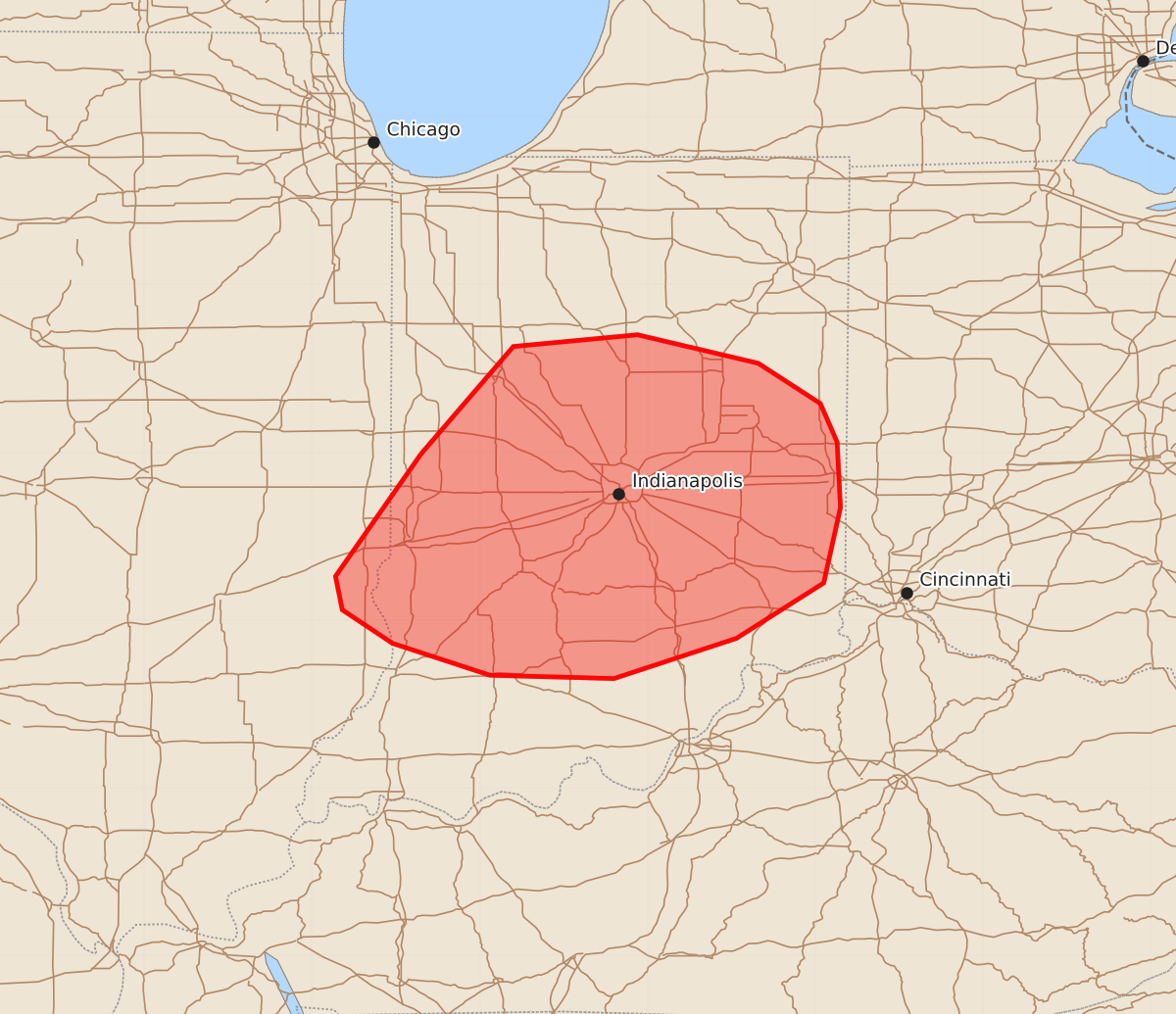
Summary
Scattered strong thunderstorms may produce occasional damaging wind gusts of 55 to 70 mph across parts of eastern Illinois and central and southern Indiana later this evening.
Product Text
000 ACUS11 KWNS 100006 SWOMCD SPC MCD 100005 INZ000-ILZ000-100200- Mesoscale Discussion 1052 NWS Storm Prediction Center Norman OK 0705 PM CDT Tue Jun 09 2026 Areas affected...parts of far eastern Illinois and central and southern Indiana Concerning...Severe potential...Watch unlikely Valid 100005Z - 100200Z Probability of Watch Issuance...5 percent SUMMARY...Scattered strong storms may produce occasional damaging gusts this evening. Storm organization will be limited and a WW is unlikely. DISCUSSION...As of 00 UTC, regional radar data showed a cluster of stronger thunderstorms near a remnant MCV over parts of the upper Wabash Valley. The environment is moderately unstable, owing to mid 70s F surface dewpoints. However, vertical shear is not particularly strong. With bulk shear generally below 25 kt, the observed cluster/multicell storm mode should continue this evening. Storms will move eastward across central and southern IN toward the OH/KY border later this evening. Some upscale growth may support a risk for occasional damaging gusts with water-loaded downdrafts. However, the lack of broader organization should keep storm organization and the overall severe risk isolated. These storms should also begin to weaken with the loss of diurnal heating later tonight. Thus, while some risk for damaging winds is possible, a WW is unlikely. ..Lyons/Smith.. 06/10/2026 ...Please see www.spc.noaa.gov for graphic product... ATTN...WFO...ILN...LMK...IWX...IND...ILX... LAT...LON 39998735 40638680 40708606 40538534 40298497 40068487 39678485 39228495 38898547 38658620 38678694 38868752 39068782 39268786 39998735 MOST PROBABLE PEAK WIND GUST...55-70 MPH