Mesoscale Discussion 1778
Issued: · Valid: –
Summary
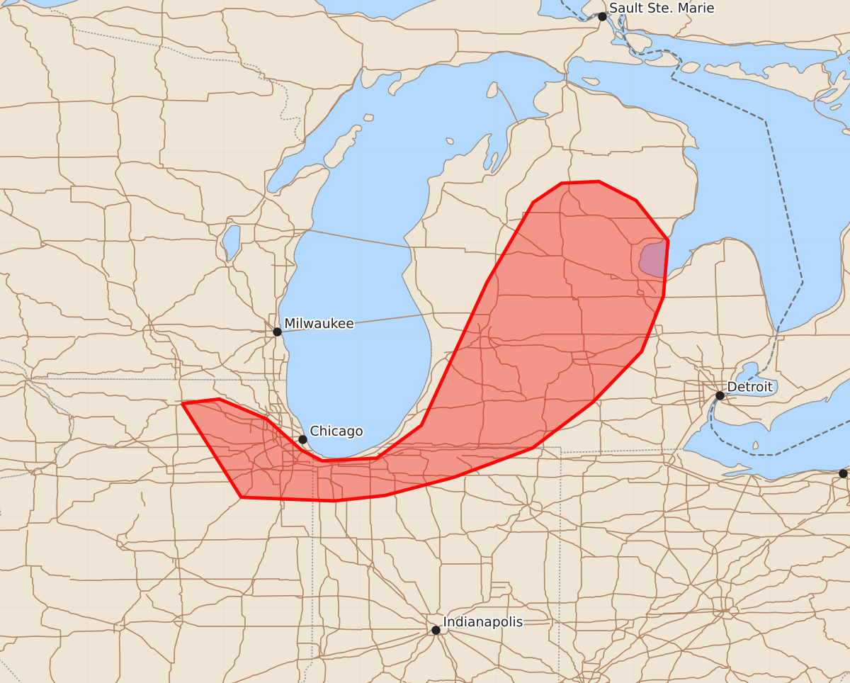
Isolated instances of marginally severe hail may occur across portions of northern Illinois, far northern Indiana, and central Lower Michigan through early evening.
Product Text
000 ACUS11 KWNS 280155 SWOMCD SPC MCD 280155 MIZ000-INZ000-ILZ000-280330- Mesoscale Discussion 1778 NWS Storm Prediction Center Norman OK 0855 PM CDT Mon Jul 27 2026 Areas affected...portions of northern IL into far northern IN and central Lower MI Concerning...Severe potential...Watch unlikely Valid 280155Z - 280330Z Probability of Watch Issuance...5 percent SUMMARY...An isolated instance of severe hail may occur during the mature stage of the sparse storms in progress. The severe threat will be isolated, precluding a WW issuance. DISCUSSION...A few widely spaced multicells/transient supercells have become established within a strong 925-850 mb warm-air advection regime, where substantial MUCAPE and 60+ kts of effective bulk shear remains in place. The current expectation is for these storms to fluctuate in intensity for a few more hours, potentially producing a few marginally severe hailstones in the process. Nonetheless, the severe threat will remain sparse, so a WW issuance is not anticipated. ..Squitieri/Smith.. 07/28/2026 ...Please see www.spc.noaa.gov for graphic product... ATTN...WFO...DTX...APX...IWX...GRR...LOT... LAT...LON 42248896 42298855 42078803 41738765 41618742 41648682 42008633 43578561 44458510 44668479 44688438 44478397 44038362 43428367 42818391 42258445 41758511 41438597 41238673 41178729 41218831 42248896 MOST PROBABLE PEAK WIND GUST...UP TO 60 MPH MOST PROBABLE PEAK HAIL SIZE...UP TO 1.25 IN