Mesoscale Discussion 1102
Issued: · Valid: –
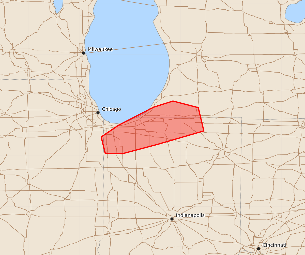
Summary
A strong to intense tornado threat is expected across southern Porter, Laporte, and potentially St. Joseph counties in northwest Indiana over the next one to two hours.
Product Text
000 ACUS11 KWNS 120045 SWOMCD SPC MCD 120044 INZ000-MIZ000-ILZ000-120215- Mesoscale Discussion 1102 NWS Storm Prediction Center Norman OK 0744 PM CDT Thu Jun 11 2026 Areas affected...northwest Indiana Concerning...Tornado Watch 313...318... Valid 120044Z - 120215Z The severe weather threat for Tornado Watch 313, 318 continues. SUMMARY...A strong to intense tornado threat will exist for the next 1 to 2 hours. DISCUSSION...A cluster of supercells across northwest Indiana has a history of tornadoes including a likely strong tornado across Lake County within the past 15 minutes. The southernmost storm in this cluster across northern Newton County is exhibiting broad, strong rotation and is in a similarly favorable tornado environment featuring STP around 5. This supercell is expected to remain discrete/undisturbed and will likely pose a strong to potentially intense tornado threat across southern Porter, Laporte, and potentially St. Joseph county for the next 1 to 2 hours. ..Bentley.. 06/12/2026 ...Please see www.spc.noaa.gov for graphic product... ATTN...WFO...IWX...GRR...LOT... LAT...LON 41378757 41608723 41968653 42088615 41958565 41498554 41228647 41048715 41058749 41378757 MOST PROBABLE PEAK TORNADO INTENSITY...120-145 MPH MOST PROBABLE PEAK WIND GUST...65-80 MPH MOST PROBABLE PEAK HAIL SIZE...1.00-1.75 IN