Mesoscale Discussion 2060
Issued: · Valid: –
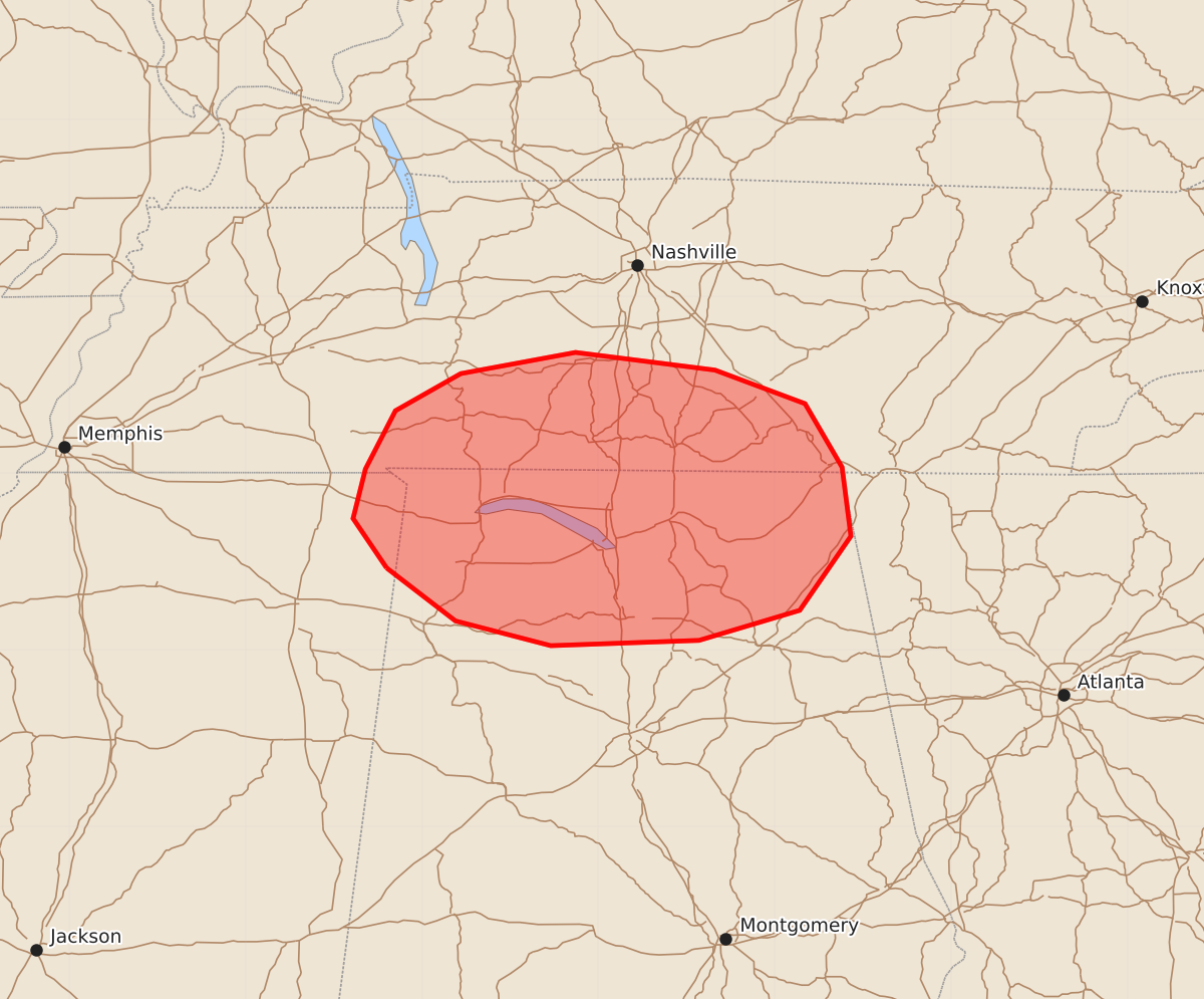
Summary
Damaging wind gusts from thunderstorms are expected to increase over parts of northern Alabama, middle Tennessee, and far northeast Mississippi during the evening of August 20, 2026. These storms may produce wind gusts between 55 and 70 mph.
Product Text
000 ACUS11 KWNS 210026 SWOMCD SPC MCD 210025 TNZ000-ALZ000-MSZ000-210300- Mesoscale Discussion 2060 NWS Storm Prediction Center Norman OK 0725 PM CDT Thu Aug 20 2026 Areas affected...Parts of northern AL...Middle TN...and far northeast MS Concerning...Severe potential...Watch possible Valid 210025Z - 210300Z Probability of Watch Issuance...40 percent SUMMARY...The risk of damaging wind gusts should increase over the next few hours. While a watch is not currently expected, trends will be monitored. DISCUSSION...Isolated thunderstorms are evolving within a zone of broad low-level confluence extending from parts of Middle/western TN into far northern MS. Over the next few hours, increasing large-scale ascent preceding a midlevel wave moving across the lower OH Valley could support an increase in thunderstorm coverage within this zone. Ahead of this activity, a warm and very moist PBL (upper 70s to near 80 dewpoints) are yielding a corridor of strong surface-based buoyancy. While modest deep-layer flow/shear and lack of a LLJ should tend to limit convective organization, some strengthening of midlevel northwesterly flow accompanying the midlevel wave (sampled by upstream VWP) could favor a loosely organized cluster of storms. If this evolution occurs, damaging wind gusts will be the primary concern. While a gradual increase in nocturnal static stability and the modest deep-layer shear may temper the overall severe risk, convective trends will be monitored. ..Weinman/Guyer.. 08/21/2026 ...Please see www.spc.noaa.gov for graphic product... ATTN...WFO...MRX...OHX...BMX...HUN...MEG... LAT...LON 34468820 34748839 35028832 35358815 35568778 35688713 35588634 35398583 35038562 34648557 34228586 34058643 34028727 34168781 34468820 MOST PROBABLE PEAK WIND GUST...55-70 MPH MOST PROBABLE PEAK HAIL SIZE...UP TO 1.25 IN