Mesoscale Discussion 1409
Issued: · Valid: –
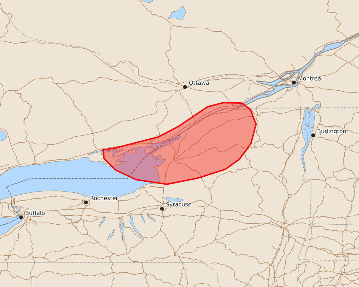
Summary
Thunderstorms moving from Ontario into northern New York before midnight may produce isolated damaging wind gusts and small hail. The severe threat is expected to be limited.
Product Text
000 ACUS11 KWNS 010213 SWOMCD SPC MCD 010212 NYZ000-010415- Mesoscale Discussion 1409 NWS Storm Prediction Center Norman OK 0912 PM CDT Tue Jun 30 2026 Areas affected...2portions of northern New York Concerning...Severe potential...Watch unlikely Valid 010212Z - 010415Z Probability of Watch Issuance...20 percent SUMMARY...Ongoing convection across southern Ontario will spread southeastward into northern New York prior to midnight, with some potential for isolated damaging wind gusts. Watch issuance is not anticipated. DISCUSSION...A linear MCS with a rear inflow jet and developing bookend vortex (per recent radar imagery from KTYX) is currently progressing south-southeastward across far southern Ontario in tandem with a subtle mid-level perturbation rounding the northern periphery of an upper-level ridge centered over Tennessee/Kentucky. Expectation is for this activity to continue to evolve south-southeastward amid broad northwesterly mid-level flow and along a surface buoyancy/theta-e gradient. Around 40 kts of effective shear should continue to promote some organization with this MCS; however, cooling surface temperatures and lingering low-level stability in the wake of prior convection are expected to largely temper the severe threat accompanying these thunderstorms. Nevertheless, isolated damaging wind gusts and perhaps an instance or two of marginally severe hail may be possible with the strongest cores, particularly along the western edge of the cluster where available buoyancy will be greater. Trends will continue to be monitored, but watch issuance appears unlikely at this time owing to the expected limited severe threat magnitude. ..Chalmers/Thompson.. 07/01/2026 ...Please see www.spc.noaa.gov for graphic product... ATTN...WFO...BTV...ALY...BUF... LAT...LON 45037526 45117495 45107460 44987443 44697432 44317442 44007465 43817492 43647545 43527605 43617665 43807705 44027727 44197729 44237704 44447622 44657582 45037526 MOST PROBABLE PEAK WIND GUST...55-70 MPH MOST PROBABLE PEAK HAIL SIZE...UP TO 1.25 IN