Mesoscale Discussion 1074
Issued: · Valid: –
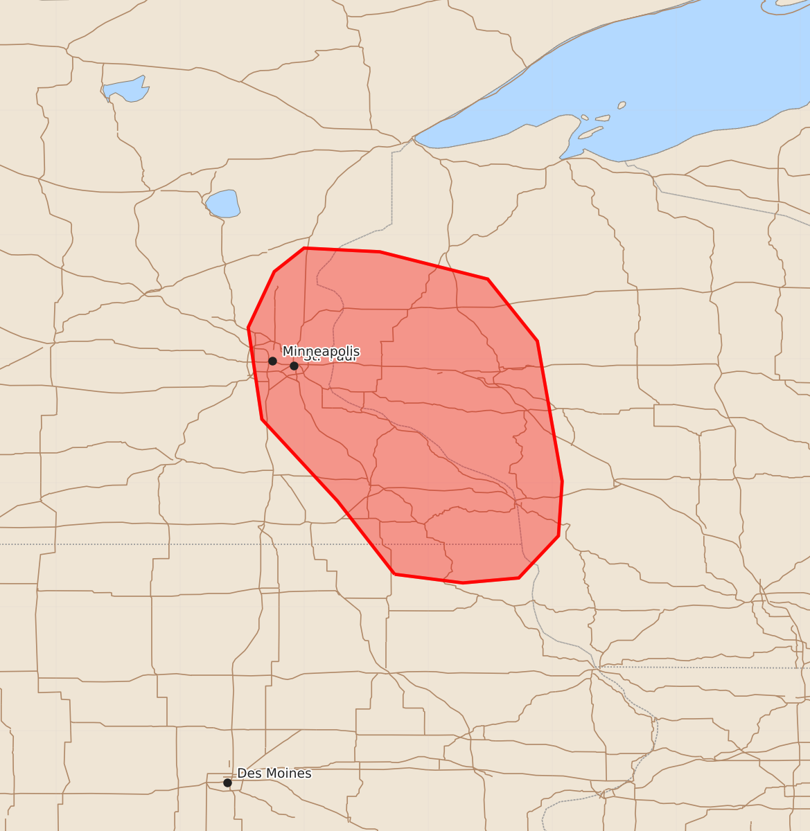
Summary
Isolated large hail and damaging wind gusts are expected to continue across eastern Minnesota and western Wisconsin through the evening. The severe thunderstorm threat is expected to persist for a few more hours before storms dissipate later tonight.
Product Text
000 ACUS11 KWNS 102247 SWOMCD SPC MCD 102247 WIZ000-IAZ000-MNZ000-110015- Mesoscale Discussion 1074 NWS Storm Prediction Center Norman OK 0547 PM CDT Wed Jun 10 2026 Areas affected...eastern Minnesota and western Wisconsin Concerning...Severe Thunderstorm Watch 301... Valid 102247Z - 110015Z The severe weather threat for Severe Thunderstorm Watch 301 continues. SUMMARY...Isolated large hail and damaging wind gusts are expected to persist for a few more hours. DISCUSSION...A cluster of supercells across eastern Minnesota and western Wisconsin will persist for a few more hours within an environment featuring 2500-3000 J/kg MUCAPE (per SPC mesoanalysis) and 50 knots of 50+ knots of 0-6km shear (per MPX VWP). Isolated large hail and damaging wind gusts will be the primary threats. As these storms continue east over the next 1 to 2 hours they will eventually encounter a much more stable environment across Wisconsin and should dissipate later this evening. ..Bentley.. 06/10/2026 ...Please see www.spc.noaa.gov for graphic product... ATTN...WFO...DLH...ARX...MPX... LAT...LON 43269227 43859273 44519334 45259345 45709324 45899300 45869239 45649152 45149112 44019092 43579095 43239127 43199172 43269227 MOST PROBABLE PEAK WIND GUST...55-70 MPH MOST PROBABLE PEAK HAIL SIZE...UP TO 1.25 IN