Mesoscale Discussion 1795
Issued: · Valid: –
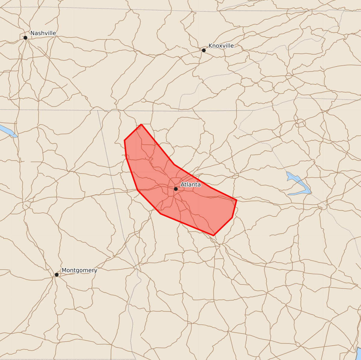
Summary
Localized wind damage is possible across parts of north Georgia through the early overnight hours. Thunderstorms may produce wind gusts up to 60 mph, though the threat is expected to weaken over time.
Product Text
000 ACUS11 KWNS 290445 SWOMCD SPC MCD 290445 GAZ000-290615- Mesoscale Discussion 1795 NWS Storm Prediction Center Norman OK 1145 PM CDT Tue Jul 28 2026 Areas affected...Parts of north GA Concerning...Severe Thunderstorm Watch 531... Valid 290445Z - 290615Z The severe weather threat for Severe Thunderstorm Watch 531 continues. SUMMARY...A localized wind-damage threat may continue through the early overnight hours, though a general weakening trend is expected with time. DISCUSSION...An outflow-driven storm cluster is propagating southward across north GA as of 0445 UTC. Moist low-level west-northwesterly flow impinging upon the gust front will help to sustain convection through the early overnight hours, though increasing MLCINH with time and southward extent should eventually result in a weakening trend. Observed gusts have generally been sub-severe thus far, though downbursts associated with the strongest embedded cores may remain capable of producing localized wind damage, until a more definitive weakening trend occurs. ..Dean.. 07/29/2026 ...Please see www.spc.noaa.gov for graphic product... ATTN...WFO...FFC... LAT...LON 34788492 34138439 33768380 33568339 33288346 32998376 33348461 33728498 34248516 34528519 34788492 MOST PROBABLE PEAK WIND GUST...UP TO 60 MPH