Mesoscale Discussion 1407
Issued: · Valid: –
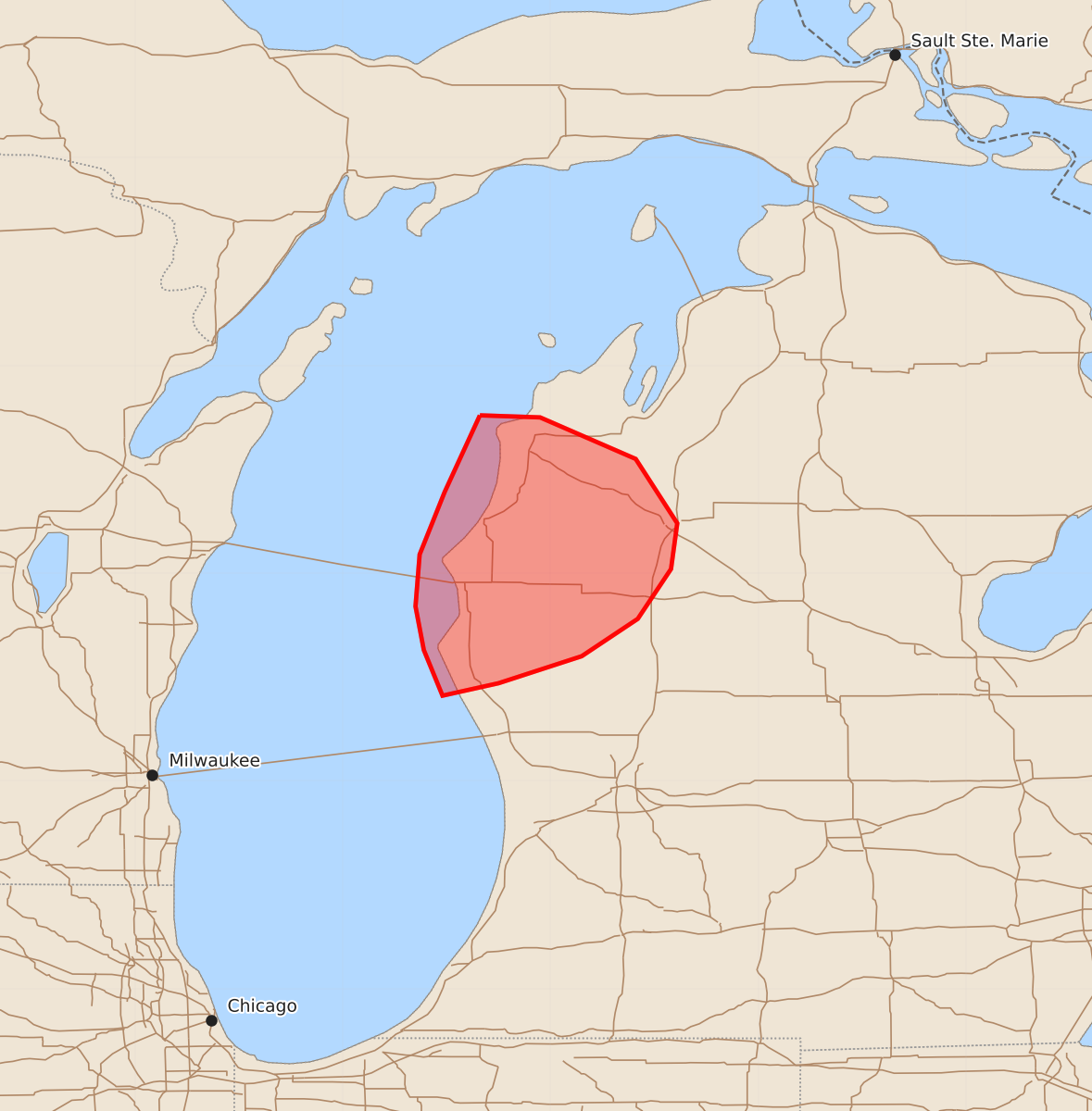
Summary
Isolated thunderstorms capable of producing damaging wind gusts and large hail may move across portions of western Michigan within the next two hours. The expected severe threat remains limited.
Product Text
000 ACUS11 KWNS 010101 SWOMCD SPC MCD 010100 MIZ000-010300- Mesoscale Discussion 1407 NWS Storm Prediction Center Norman OK 0800 PM CDT Tue Jun 30 2026 Areas affected...portions of western Michigan Concerning...Severe potential...Watch unlikely Valid 010100Z - 010300Z Probability of Watch Issuance...20 percent SUMMARY...An isolated risk for damaging wind gusts and large hail may develop across portions of western Michigan over the next 1-2 hours. Watch issuance is unlikely at this time. DISCUSSION...A convective cluster that developed across portions of central/eastern Wisconsin earlier this afternoon has evolved eastward and is currently noted over Lake Michigan. While radar imagery from KGRB indicates that the outflow from this complex has largely outrun the main convective cores, a modest strengthening of the nocturnal low-level jet may help to sustained this convection (and isolated thunderstorms developing farther to the east) for at least another couple of hours. While increasing low-level inhibition, neutral mid-level heights, and marginal effective shear (generally 25-35 kts) should largely limit the overall severe threat, strong buoyancy (MLCAPE 3000-3500 J/kg) and marginal convective organization may continue to promote some potential for isolated damaging wind gusts and large hail as this convection moves eastward into western Michigan. Watch issuance is unlikely at this time owing to the expectation for the magnitude of the severe risk to remain limited. ..Chalmers/Thompson.. 07/01/2026 ...Please see www.spc.noaa.gov for graphic product... ATTN...WFO...APX...GRR... LAT...LON 44768634 44758605 44558559 44248539 44028542 43788558 43608585 43478625 43418652 43638661 43848665 44098663 44398651 44768634 MOST PROBABLE PEAK WIND GUST...55-70 MPH MOST PROBABLE PEAK HAIL SIZE...1.00-1.75 IN