Mesoscale Discussion 1488
Issued: · Valid: –
Summary
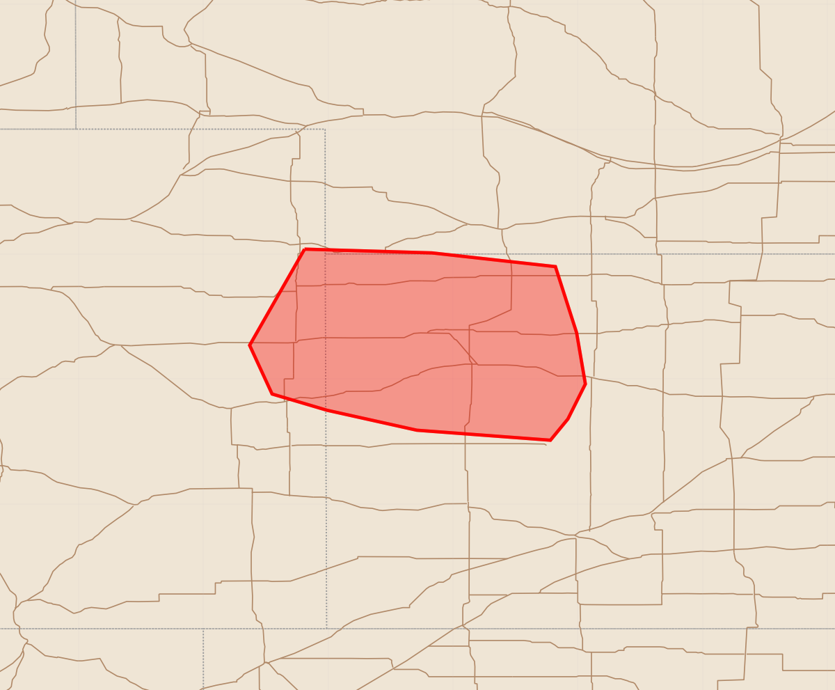
Severe thunderstorms capable of producing damaging wind gusts and isolated hail are expected across far northeast Colorado and northwest Kansas through the early morning. The most severe storms may produce wind gusts between 65 and 80 mph and hail up to 1.75 inches in size.
Product Text
000 ACUS11 KWNS 040824 SWOMCD SPC MCD 040823 KSZ000-NEZ000-COZ000-041000- Mesoscale Discussion 1488 NWS Storm Prediction Center Norman OK 0323 AM CDT Sat Jul 04 2026 Areas affected...Far northeast CO into northwest KS Concerning...Severe Thunderstorm Watch 453... Valid 040823Z - 041000Z The severe weather threat for Severe Thunderstorm Watch 453 continues. SUMMARY...Localized severe gusts and isolated hail remain possible through the early morning. DISCUSSION...Earlier intense supercells have evolved into a small bowing segment across far northeast CO as of 0815 UTC. This small cluster has a history of producing observed severe gusts, and may continue to pose a severe-wind and isolated hail threat as it moves into far northwest KS. Extensive downstream convection near and southeast of Goodland may eventually limit the longevity and eastern extent of the severe threat of this cluster. The strongest storms within the warm-advection regime may also pose a threat for isolated hail and localized strong to severe gusts, given the presence of moderate elevated buoyancy and sufficient effective shear. ..Dean.. 07/04/2026 ...Please see www.spc.noaa.gov for graphic product... ATTN...WFO...DDC...GLD... LAT...LON 40040219 40010117 39900018 39370001 38969994 38680008 38510022 38590129 38750201 38880245 39270263 40040219 MOST PROBABLE PEAK WIND GUST...65-80 MPH MOST PROBABLE PEAK HAIL SIZE...1.00-1.75 IN