Watch 460 Outline
Issued:
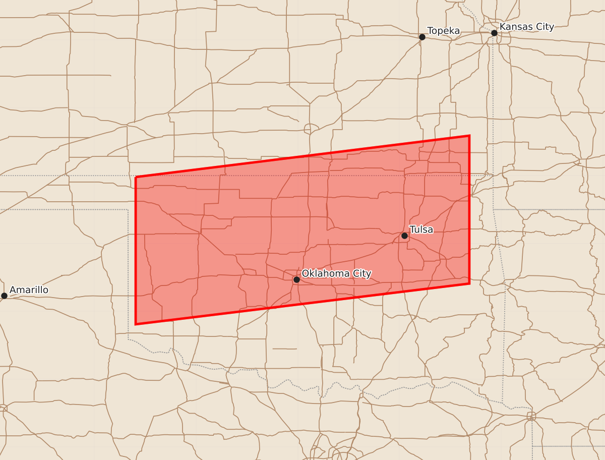
Summary
A severe thunderstorm watch is in effect for portions of southeast Kansas and northeast Oklahoma until 12:05 a.m. CDT, with potential for 2.5-inch hail and 75-knot wind gusts.
Product Text
000 WWUS30 KWNS 042136 SAW0 SPC AWW 042136 WW 460 SEVERE TSTM KS OK 042135Z - 050500Z AXIS..75 STATUTE MILES NORTH AND SOUTH OF LINE.. 55NW CSM/CLINTON OK/ - 55ENE TUL/TULSA OK/ ..AVIATION COORDS.. 65NM N/S /27S MMB - 41SSE OSW/ HAIL SURFACE AND ALOFT..2.5 INCHES. WIND GUSTS..75 KNOTS. MAX TOPS TO 550. MEAN STORM MOTION VECTOR 30030. LAT...LON 36989989 37599497 35419497 34819989 THIS IS AN APPROXIMATION TO THE WATCH AREA. FOR A COMPLETE DEPICTION OF THE WATCH SEE WOUS64 KWNS FOR WOU0.