Mesoscale Discussion 1424
Issued: · Valid: –
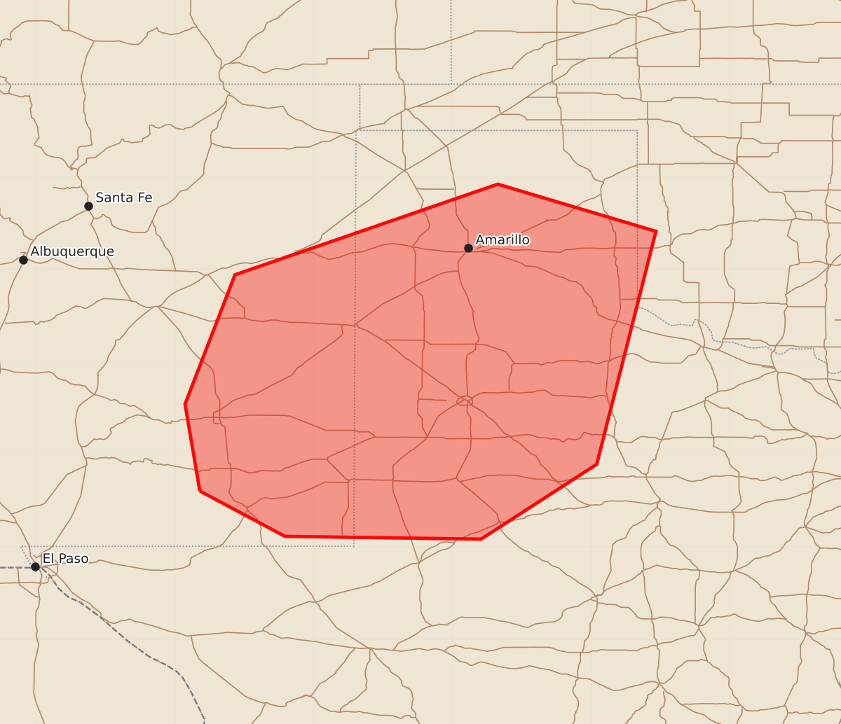
Summary
Isolated severe wind gusts of 65 to 80 mph are expected across eastern New Mexico, West Texas, and the Texas Panhandle this afternoon and evening.
Product Text
000 ACUS11 KWNS 012022 SWOMCD SPC MCD 012021 OKZ000-TXZ000-NMZ000-012145- Mesoscale Discussion 1424 NWS Storm Prediction Center Norman OK 0321 PM CDT Wed Jul 01 2026 Areas affected...Eastern New Mexico...West Texas...and the Texas Panhandle Concerning...Severe potential...Watch unlikely Valid 012021Z - 012145Z Probability of Watch Issuance...5 percent SUMMARY...An isolated severe wind threat is expected across eastern New Mexico, West Texas, and the Texas Panhandle this afternoon and evening. DISCUSSION...Very high dewpoints (upper 60s to low 70s F) have advected northwestward onto the higher terrain across the southern High Plains. This has led to strong instability with 2000 to 2500 J/kg MLCAPE from West Texas into the Texas Panhandle. Within this uncapped airmass, storms have developed on the Mountains in east-central New Mexico, near the dryline in far eastern New Mexico, and on the gradient of the heat and the moisture near the Caprock. These storms, and additional storms which are forecast to develop through the afternoon/evening, will likely remain quite unorganized due to weak deep layer shear (15 to 20 knots). However, the strong instability and relatively steep low to mid-level lapse rates (shown by the KAMA 18Z RAOB) will support a severe wind threat. ..Bentley/Guyer.. 07/01/2026 ...Please see www.spc.noaa.gov for graphic product... ATTN...WFO...OUN...SJT...LUB...AMA...MAF...ABQ... LAT...LON 32600473 33540489 34940435 35920151 35419980 32890044 32080169 32110381 32600473 MOST PROBABLE PEAK WIND GUST...65-80 MPH