Mesoscale Discussion 1849
Issued: · Valid: –
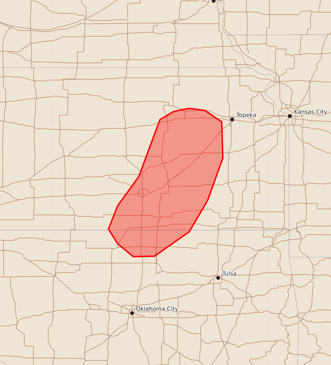
Summary
Severe hail is expected to impact parts of eastern Kansas and northern Oklahoma through mid-morning on Friday. The risk of severe hail is expected to be transient and will gradually decrease over the next few hours.
Product Text
000 ACUS11 KWNS 071339 SWOMCD SPC MCD 071339 KSZ000-OKZ000-071515- Mesoscale Discussion 1849 NWS Storm Prediction Center Norman OK 0839 AM CDT Fri Aug 07 2026 Areas affected...Parts of eastern Kansas into northern Oklahoma Concerning...Severe potential...Watch unlikely Valid 071339Z - 071515Z Probability of Watch Issuance...5 percent SUMMARY...The risk of severe hail will continue for the next couple of hours. DISCUSSION...Thunderstorms are ongoing on the backside of earlier convection, aided by a a 35 kt LLJ (sampled by ICT VWP) and related low-level warm-air advection. Steep midlevel lapse rates (per the OUN 12Z sounding) atop a statically stable boundary layer are contributing to sufficient elevated buoyancy for the continuation of a few robust cells. This, combined with 40-50 kt of effective shear, may continue to support transient organization and a risk of severe hail over the next couple of hours. However, current expectations are for a gradual weakening of the LLJ, which should limit the duration of the severe risk. ..Weinman/Gleason.. 08/07/2026 ...Please see www.spc.noaa.gov for graphic product... ATTN...WFO...TSA...TOP...ICT...OUN... LAT...LON 36759778 37029795 37459778 37999739 39049700 39199675 39259646 39219617 39009586 38339584 37559612 36979646 36529710 36519749 36759778 MOST PROBABLE PEAK WIND GUST...UP TO 60 MPH MOST PROBABLE PEAK HAIL SIZE...1.00-1.75 IN