Mesoscale Discussion 1291
Issued: · Valid: –
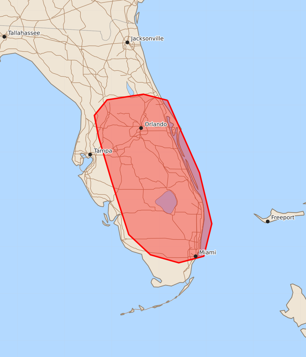
Summary
Isolated strong wind gusts of up to 60 mph are possible across the central and southern Florida Peninsula through this afternoon.
Product Text
000 ACUS11 KWNS 241720 SWOMCD SPC MCD 241720 FLZ000-241945- Mesoscale Discussion 1291 NWS Storm Prediction Center Norman OK 1220 PM CDT Wed Jun 24 2026 Areas affected...Florida Peninsula Concerning...Severe potential...Watch unlikely Valid 241720Z - 241945Z Probability of Watch Issuance...20 percent SUMMARY...Isolated strong wind gusts will be possible through the afternoon across the central and southern Florida Peninsula. DISCUSSION...Ample heating of a very moist airmass through early afternoon is resulting in moderate to strong instability across the FL Peninsula. Scattered thunderstorms have already developed, mainly along Atlantic coast sea breezes. Additional thunderstorm development is likely through the afternoon. Vertical shear will remain weak, limiting a greater organized severe risk. However, given MLCAPE near 2500 J/kg and steep low-level lapse rates with the high PW environment, strong outflow/downburst winds will be possible. Additionally, if sufficient clustering can occur, this would increase the risk for forward propagation and locally damaging wind potential. Overall severe risk is expected to remain limited and a watch is not expected at this time. ..Leitman/Guyer.. 06/24/2026 ...Please see www.spc.noaa.gov for graphic product... ATTN...WFO...MFL...MLB...TBW...JAX... LAT...LON 29108082 27568014 26487988 25798005 25658058 25828118 26258164 27378200 28328228 28788237 29118210 29238133 29108082 MOST PROBABLE PEAK WIND GUST...UP TO 60 MPH