Mesoscale Discussion 2169
Issued: · Valid: –
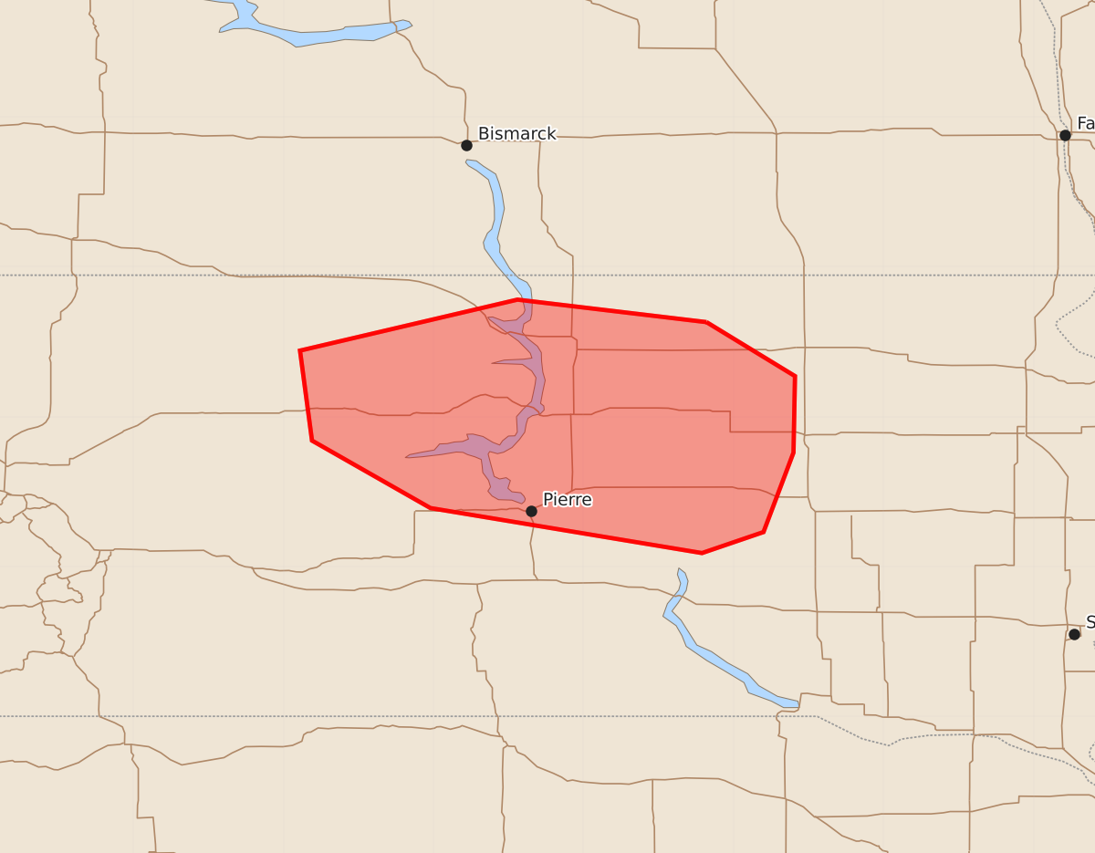
Summary
Large hail and severe winds are possible across central South Dakota late this afternoon if thunderstorms develop. The severity of these potential storms remains uncertain.
Product Text
000 ACUS11 KWNS 292159 SWOMCD SPC MCD 292158 SDZ000-300000- Mesoscale Discussion 2169 NWS Storm Prediction Center Norman OK 0458 PM CDT Sat Aug 29 2026 Areas affected...Central South Dakota Concerning...Severe potential...Watch unlikely Valid 292158Z - 300000Z Probability of Watch Issuance...20 percent SUMMARY...Large hail and severe winds would be possible should a supercell or two develop late this afternoon. Coverage and storm longevity are uncertain. A watch is not currently anticipated. DISCUSSION...Beneath a bands of cirrus streaming eastward, a couple of thunderstorms have developed within a surface trough in central South Dakota. Farther west, agitated cumulus have also been noted on visible satellite. Large-scale ascent is quite weak as mid-level heights have been neutral through the afternoon. Modifying the observed 18Z UNR sounding suggests that at least a narrow zone of central South Dakota has become uncapped. Still, temperatures aloft are somewhat warm. Effective shear of 40-45 kt and long hodographs would mean organized supercells, should storms mature. Large hail and severe winds would be the concerns. Storm coverage and longevity are the main questions given the mitigating large-scale factors discussed above. ..Wendt/Guyer.. 08/29/2026 ...Please see www.spc.noaa.gov for graphic product... ATTN...WFO...FSD...ABR...UNR... LAT...LON 45639918 45780044 45440189 44840181 44390102 44099921 44239880 44769860 45279859 45639918 MOST PROBABLE PEAK WIND GUST...55-70 MPH MOST PROBABLE PEAK HAIL SIZE...1.00-1.75 IN