Mesoscale Discussion 1821
Issued: · Valid: –
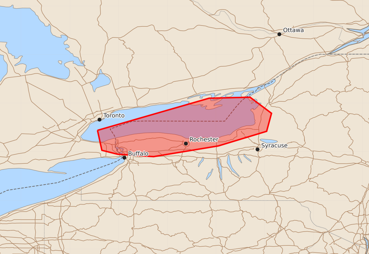
Summary
Isolated risks of damaging wind gusts and a brief tornado may affect portions of western New York near the Lake Ontario shoreline over the next two hours.
Product Text
000 ACUS11 KWNS 021654 SWOMCD SPC MCD 021654 NYZ000-021830- Mesoscale Discussion 1821 NWS Storm Prediction Center Norman OK 1154 AM CDT Sun Aug 02 2026 Areas affected...portions of western NY Concerning...Severe potential...Watch unlikely Valid 021654Z - 021830Z Probability of Watch Issuance...20 percent SUMMARY...An isolated risk for damaging wind gusts and perhaps a tornado will skirt the international border near Lake Ontario/western New York the next couple hours. DISCUSSION...A bowing thunderstorm cluster has developed along a surface boundary near the international border/western NY. The downstream airmass is relatively cool, but moist, resulting in weak instability. However, low-level SRH is enhanced along the surface boundary and in proximity to the larger-scale surface low across the region. While instability is expected to remain weak, 30-40 kt effective shear magnitudes will support at least occasional storm organization. Most of the stronger convection will likely remain over Lake Ontario and or across the international border. However, this stronger bowing cluster could skirt the western NY/Lake Ontario shoreline over the next hour or two, resulting in a low risk for damaging gusts or perhaps a brief tornado. ..Leitman/Mosier.. 08/02/2026 ...Please see www.spc.noaa.gov for graphic product... ATTN...WFO...BUF... LAT...LON 43447943 44107714 44127630 43797586 43427596 43127695 42907828 42957902 43037934 43447943 MOST PROBABLE PEAK TORNADO INTENSITY...UP TO 90 MPH MOST PROBABLE PEAK WIND GUST...UP TO 60 MPH