Mesoscale Discussion 1206
Issued: · Valid: –
Summary
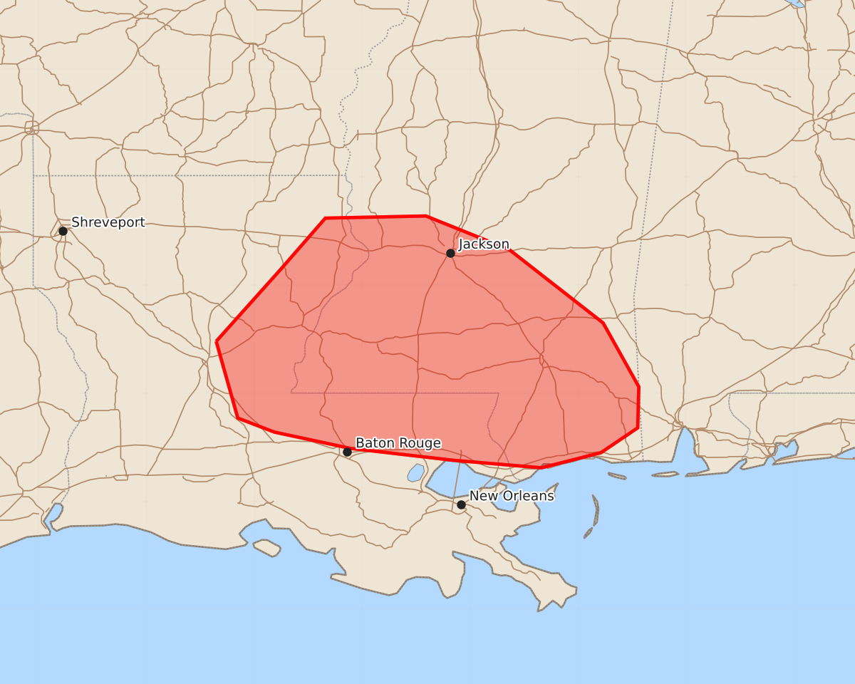
Isolated damaging wind gusts from wet downbursts are possible across portions of eastern Louisiana and central to southern Mississippi this evening. These sparse severe weather threats are expected to produce wind gusts up to 60 mph.
Product Text
000 ACUS11 KWNS 192214 SWOMCD SPC MCD 192214 MSZ000-LAZ000-192345- Mesoscale Discussion 1206 NWS Storm Prediction Center Norman OK 0514 PM CDT Fri Jun 19 2026 Areas affected...portions of eastern Louisiana into central and southern Mississippi Concerning...Severe potential...Watch unlikely Valid 192214Z - 192345Z Probability of Watch Issuance...5 percent SUMMARY...A couple of damaging gusts are possible this evening with wet downbursts. The severe threat should remain sparse, so a WW issuance is not expected. DISCUSSION...MRMS mosaic radar and satellite imagery, as well as NLDN lightning data, all show a slight uptick in intensity with pulse-cellular storms across eastern LA into central and southern MS. If storms can merge, the very unstable environment (e.g. 3500 J/kg MLCAPE) will encourage the development of water-loaded downdrafts capable of supporting a couple of damaging gusts. Given weak vertical wind shear and the potential lack of overall favorable clustering, the severe threat should remain disorganized and sparse, with no WW issuance currently planned. ..Squitieri/Smith.. 06/19/2026 ...Please see www.spc.noaa.gov for graphic product... ATTN...WFO...MOB...JAN...LIX...LCH...SHV... LAT...LON 31489235 32159175 32629134 32649041 32338964 31658877 31068844 30688845 30458879 30318934 30389016 30499111 30649181 30779215 31489235 MOST PROBABLE PEAK WIND GUST...UP TO 60 MPH