Day 4-8 Convective Outlook
Issued: · Valid: –
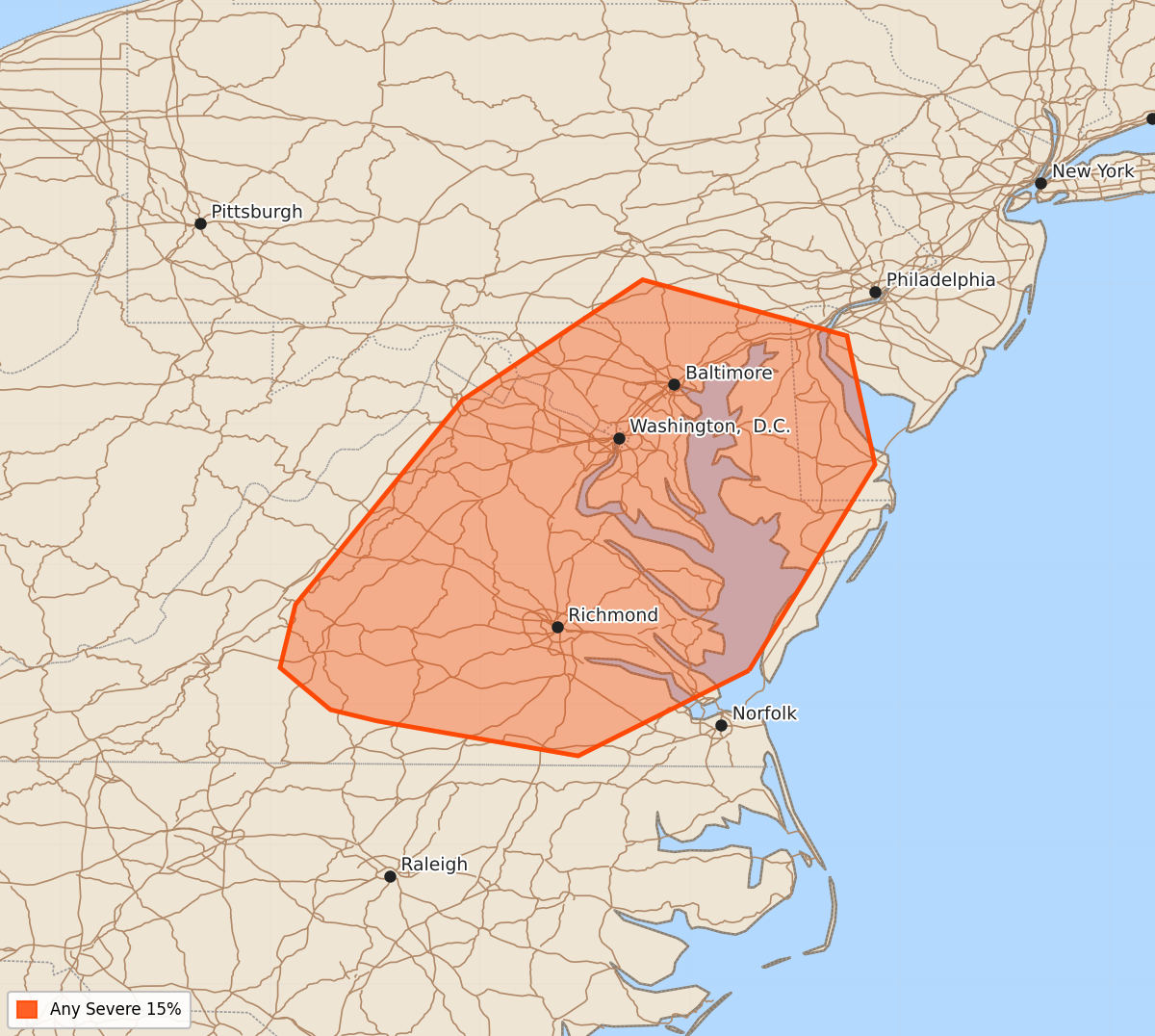
Summary
A 15% risk of severe thunderstorms with potential for damaging wind gusts is expected in the Mid-Atlantic and Blue Ridge regions starting Sunday.
Product Text
000 ACUS48 KWNS 020856 SWOD48 SPC AC 020855 Day 4-8 Convective Outlook NWS Storm Prediction Center Norman OK 0355 AM CDT Thu Jul 02 2026 Valid 051200Z - 101200Z ...DISCUSSION... Model trends have been for the upper ridge to amplify less in the West than in previous cycles. This will allow southwesterly mid-level winds to persist longer in the Intermountain region. In the East, a shortwave trough will approach the Northeast/Mid-Atlantic on Sunday before cyclonic flow remains in the regions through the middle of the following week. Upper ridging will stay within the central CONUS before flattening as a couple of shortwave troughs move over the northern tier states. Moderate to strong buoyancy is expected to remain south a stalled surface boundary in the Southeast. The cyclonic flow in the West will eventually bring moisture farther northwest into the High Plains. While predictability is generally low, at least localized severe potential will exist near the surface boundaries and any MCVs that may be present. High Plains thunderstorms are also possible. Where greater shear/lift exists with the western shortwave troughs, severe potential could increase. ...Mid-Atlantic... With the approach of modest mid-level height falls on Sunday, storm coverage will likely increase from Saturday both along the stalled surface front and within the Blue Ridge. Given a similar environment to Saturday, a 15% severe risk was added. Damaging wind gusts are likely the primary hazard. ..Wendt.. 07/02/2026