Day 1 Convective Outlook
Issued: · Valid: –
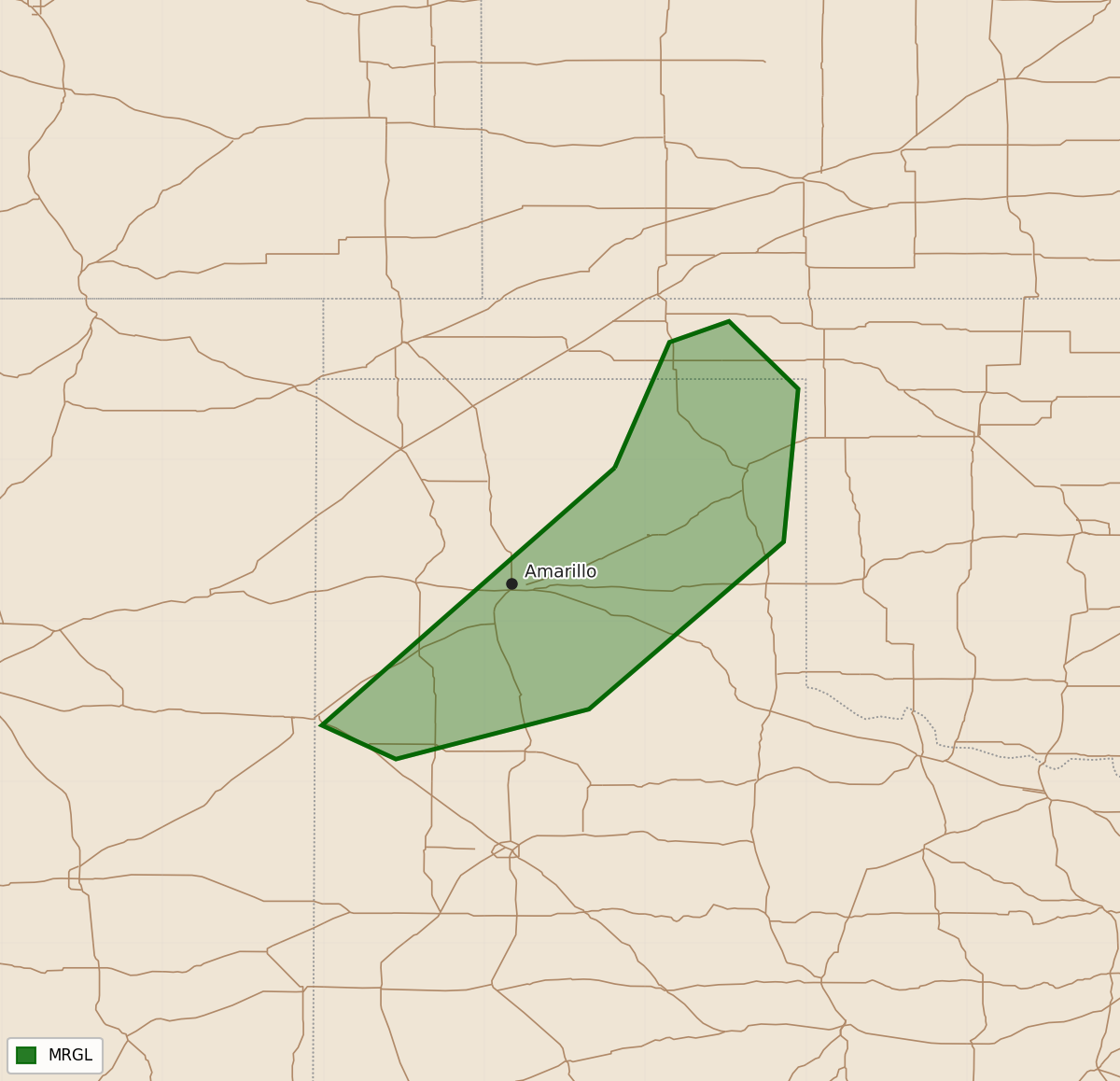
Summary
A marginal risk of isolated severe thunderstorms with damaging wind gusts is possible for parts of the Texas Panhandle through this evening. Scattered non-severe thunderstorms are expected tonight across portions of the Southwest, southern Rockies, and deep south Texas.
Product Text
000 ACUS01 KWNS 250050 SWODY1 SPC AC 250048 Day 1 Convective Outlook NWS Storm Prediction Center Norman OK 0748 PM CDT Thu Sep 24 2026 Valid 250100Z - 251200Z ...THERE IS A MARGINAL RISK OF SEVERE THUNDERSTORMS THIS EVENING OVER PARTS OF THE TEXAS PANHANDLE... ...SUMMARY... An isolated severe storm or two remains possible in the Texas Panhandle this evening. ...TX Panhandle... Multiple clusters of strong thunderstorms that affected parts of the central High Plains have begun to weakening as diurnal cooling commences. Nevertheless, a locally severe wind gust remains possible for another 1-2 hours over parts of the TX Panhandle, where relatively steep low-level lapse rates and sufficient CAPE are present. Elsewhere, scattered thunderstorms will be possible this evening and into the night across parts of the Southwest states and southern Rockies, and over deep south TX. Severe storms are not anticipated in these areas. ..Hart.. 09/25/2026 $$