Mesoscale Discussion 2055
Issued: · Valid: –
Summary
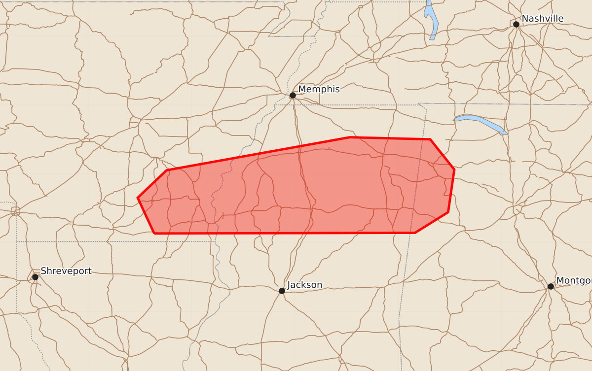
Scattered thunderstorms capable of producing damaging downburst winds and isolated large hail may affect southeast Arkansas into northern Mississippi and northern Alabama through the afternoon. These storms could bring wind gusts of 55 to 70 mph and hail up to 1.25 inches.
Product Text
000 ACUS11 KWNS 202034 SWOMCD SPC MCD 202033 ALZ000-MSZ000-ARZ000-202230- Mesoscale Discussion 2055 NWS Storm Prediction Center Norman OK 0333 PM CDT Thu Aug 20 2026 Areas affected...Southeast Arkansas into northern Mississippi and northern Alabama Concerning...Severe potential...Watch possible Valid 202033Z - 202230Z Probability of Watch Issuance...40 percent SUMMARY...Scattered storms will be capable of primarily damaging downburst winds and perhaps isolated large hail. A watch is possible depending on convective trends over the next couple of hours. DISCUSSION...Scattered thunderstorms are in the process of developing within parts of the Mid-South into the Southeast. The highest coverage of storms will likely occur ahead of a weak perturbation in southern Arkansas and where temperatures have reached the upper 90s F. Rich surface moisture/large PWAT values and steeper than typical mid-level lapse rates will support a threat for damaging downburst winds and perhaps isolated large hail. A greater localized wind threat may emerge as storm outflows congeal amid a weakly sheared environment. Cooler air is evident farther east where outflow continues to modify. Storm coverage there is less certain. A watch is possible for portions of these regions depending on convective trends the remainder of this afternoon. ..Wendt/Smith.. 08/20/2026 ...Please see www.spc.noaa.gov for graphic product... ATTN...WFO...BMX...HUN...MEG...JAN...LZK... LAT...LON 33139204 33659228 34059186 34538920 34508803 34068768 33448777 33148825 33139204 MOST PROBABLE PEAK WIND GUST...55-70 MPH MOST PROBABLE PEAK HAIL SIZE...UP TO 1.25 IN