Day 1 Convective Outlook
Issued: · Valid: –
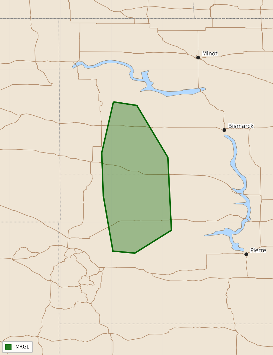
Summary
Isolated severe thunderstorms capable of producing hail and wind are possible across parts of the western Dakotas this evening.
Product Text
000 ACUS01 KWNS 240103 SWODY1 SPC AC 240100 Day 1 Convective Outlook NWS Storm Prediction Center Norman OK 0800 PM CDT Wed Sep 23 2026 Valid 240100Z - 241200Z ...THERE IS A MARGINAL RISK OF SEVERE THUNDERSTORMS ACROSS THE WESTERN DAKOTAS... ...SUMMARY... Isolated severe thunderstorms are possible this evening across parts of the western Dakotas. ...01z Update... Primary severe potential will be relatively short term and focused across the western Dakotas, with isolated severe hail and wind remaining possible on an isolated basis this evening. These storms are being influenced by a northeastward-transitioning shortwave trough and related belt of moderately strong flow aloft. Sufficient instability exists potentially for an additional severe storm or two, but nocturnal boundary layer influences will become more prevalent over time, with a diminishing intensity trend expected. ..Guyer.. 09/24/2026 $$