Day 3 Convective Outlook
This product has been superseded. View the updated product →
Issued: · Valid: –
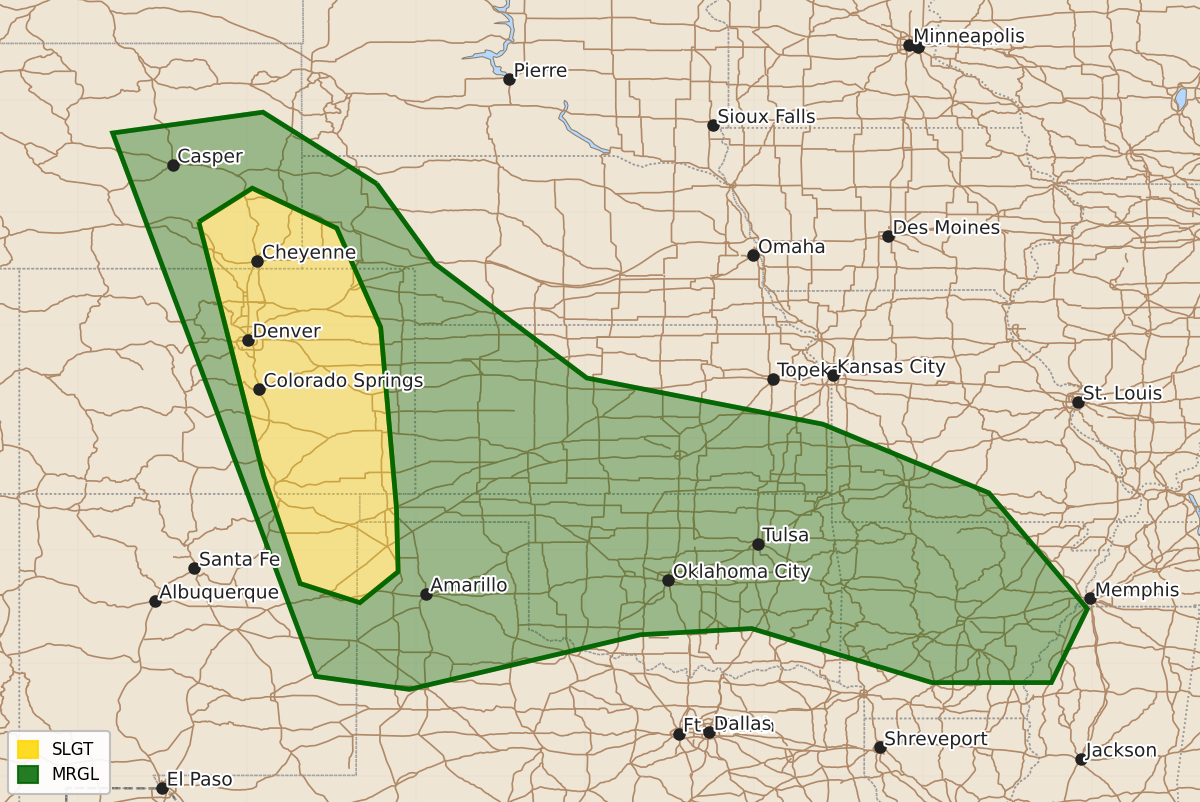
Summary
Scattered severe thunderstorms are likely across portions of the central High Plains on Wednesday, bringing a threat of large to very large hail.
Product Text
000 ACUS03 KWNS 220730 SWODY3 SPC AC 220729 Day 3 Convective Outlook NWS Storm Prediction Center Norman OK 0229 AM CDT Mon Jun 22 2026 Valid 241200Z - 251200Z ...THERE IS A SLIGHT RISK OF SEVERE THUNDERSTORMS ACROSS PORTIONS OF THE CENTRAL HIGH PLAINS.... ...SUMMARY... Scattered severe storms are likely across the central High Plains on Wednesday with a threat for large to very large hail. ...Synopsis... Persistent moderate to strong mid-level west-northwesterly mid-level flow is forecast across the central High Plains on Wednesday. The surface pattern will be rather nebulous with a weak surface low in the Midwest and high pressure in its wake across the Plains. ...Central High Plains to the Ozarks... An ongoing MCS at the beginning of the period may have some severe risk through the morning hours across Oklahoma/southern Kansas and into the Ozarks. Expect this MCS to weaken by mid-day as the low-level jet weakens and it outruns the stronger mid-level flow. High pressure across the Plains will result in strengthening upslope flow across the central High Plains. Strong instability is forecast from northeast New Mexico to southeast Wyoming beneath the moderate to strong mid-level flow. This environment will support supercells capable of large to very large hail. For now have kept the threat mostly confined to the High Plains where the supercell threat is most likely. The low-level jet response across the Plains is not that strong Wednesday night and thus, upscale growth into an MCS is unclear. If a MCS becomes more likely, the Slight Risk would need to be expanded eastward in later outlooks. ..Bentley.. 06/22/2026 $$