Day 3 Convective Outlook
This product has been superseded. View the updated product →
Issued: · Valid: –
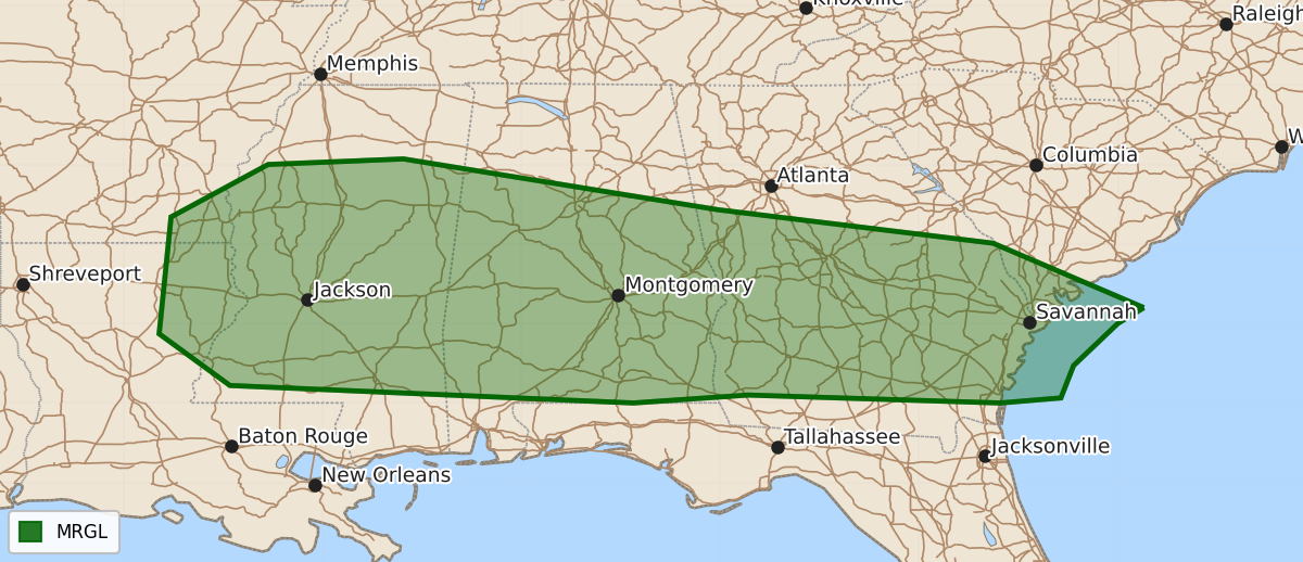
Summary
Isolated strong thunderstorms capable of producing damaging wind gusts may occur across portions of the Southeast and Gulf Coast states on Friday.
Product Text
000 ACUS03 KWNS 170640 SWODY3 SPC AC 170639 Day 3 Convective Outlook NWS Storm Prediction Center Norman OK 0139 AM CDT Wed Jun 17 2026 Valid 191200Z - 201200Z ...THERE IS A MARGINAL RISK OF SEVERE THUNDERSTORMS ACROSS PORTIONS OF THE SOUTHEAST... ...SUMMARY... Isolated strong thunderstorms may produce damaging wind gusts across portions of the Gulf Coast states/Southeast on Friday. ...Southeast... A series of mid/upper shortwave impulses will migrate across the Gulf Coast states/Southeast on Friday. Forecast guidance depicts fairly strong 850 mb flow across the region early in the day, and lifting shifting offshore from the Carolinas by late afternoon. While 850-700 mb flow will be enhanced, vertical shear will be modest. Nevertheless, convection will develop within a very moist airmass amid moderate to strong instability ahead of a southward sagging front. Isolated strong/damaging gusts will be possible with this activity. ..Leitman.. 06/17/2026 $$