Day 3 Convective Outlook
This product has been superseded. View the updated product →
Issued: · Valid: –
Summary
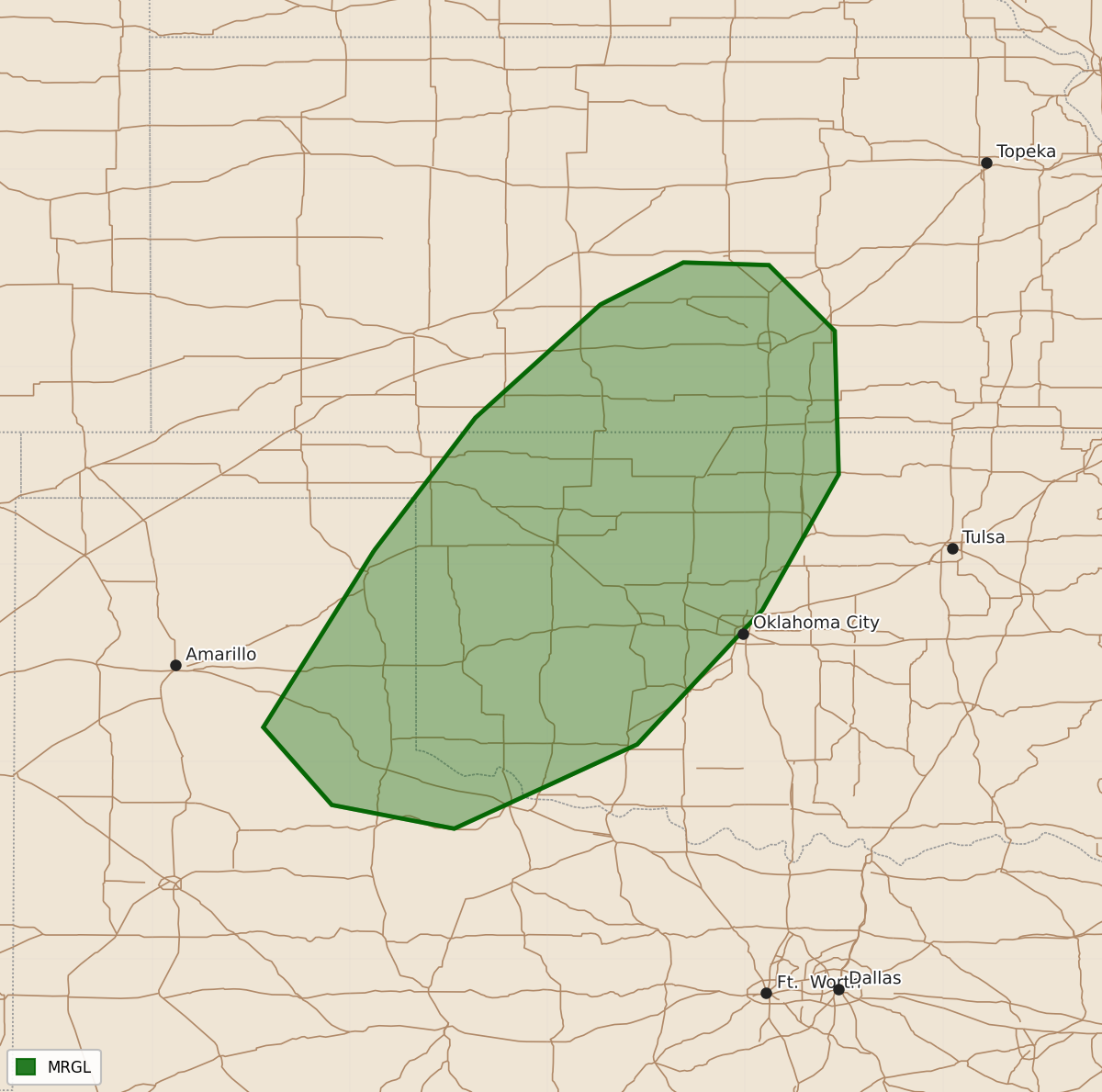
Isolated severe hail and wind may occur with a few thunderstorms across portions of the southern Plains on Saturday.
Product Text
000 ACUS03 KWNS 240714 SWODY3 SPC AC 240712 Day 3 Convective Outlook NWS Storm Prediction Center Norman OK 0212 AM CDT Thu Sep 24 2026 Valid 261200Z - 271200Z ...THERE IS A MARGINAL RISK OF SEVERE THUNDERSTORMS FOR PORTIONS OF THE SOUTHERN PLAINS... ...SUMMARY... Isolated severe hail and wind may accompany a few thunderstorms across portions of the southern Plains on Saturday. ...Synopsis... A 500 mb cutoff low will meander off of the East Coast while relatively zonal flow prevails over the central U.S. and an upper trough impinges on the West Coast on Saturday. Surface lee troughing and continued southerly moisture advection will continue across the Plains states given persistent upper troughing to the west. Medium range guidance consensus depicts thunderstorm development, spurred by low-level warm-air advection and the approach of a subtle mid-level impulse across portions of the southern Plains. 7 C/km mid-level lapse rates atop low 60s F surface dewpoints will contribute to 1500-2000 J/kg MLCAPE. Furthermore, appreciable veering with height will yield over 30 kts of effective bulk shear via modestly curved and elongated hodographs. Multicells and supercells may develop, accompanied by an isolated severe wind/hail threat. ..Squitieri.. 09/24/2026 $$